
Maps & Shapes of Europe
The outline of each of the 45 countries from Europe, exactly as it appears in the Countries mode. Recognising the shape alone — no names, no colours — trains spatial visualisation more than memory.
Good to know
Europe packs many countries into a small area, including the two smallest in the game, Vatican City and Monaco, plus San Marino and Liechtenstein. Several are landlocked, from Switzerland and Austria to Belarus and Moldova. Russia alone is larger than the rest of Europe put together, even though most of its territory lies in Asia.
At a glance
- Countries
- 45
- Total population
- 744.8M
- Total area
- 23,132,566 km²
- Most populous
- Russia (144M)
- Least populous
- Vatican City (800)
- Largest by area
- Russia (17,075,400 km²)
- Smallest by area
- Vatican City (0.49 km²)
Borders and coastlines
- Landlocked countries
- 14 — Andorra, Austria, Belarus, Czech Republic, Hungary, Liechtenstein, Luxembourg, Moldova, North Macedonia, San Marino, Serbia, Slovakia, Switzerland, Vatican City
- Island nations
- 5 — Cyprus, Iceland, Ireland, Malta, United Kingdom
- Most land borders
- Russia (14 land borders)
Population, area, coordinates and flag colours come from the same curated country data the game uses.
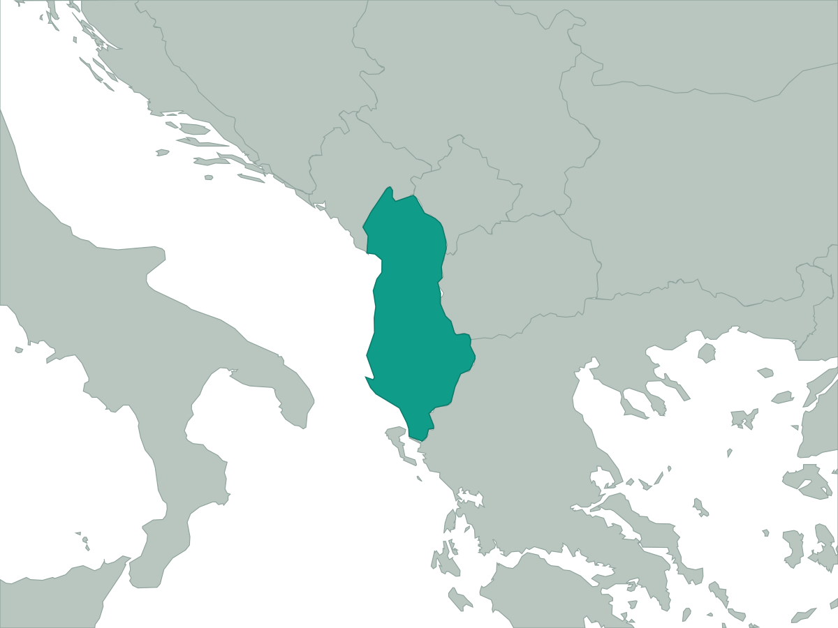 Albania
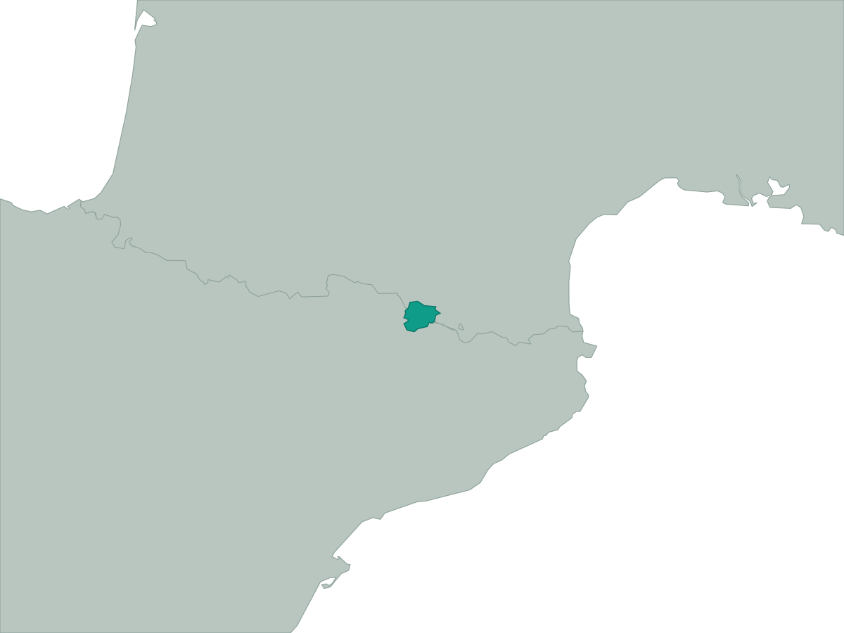 Andorra
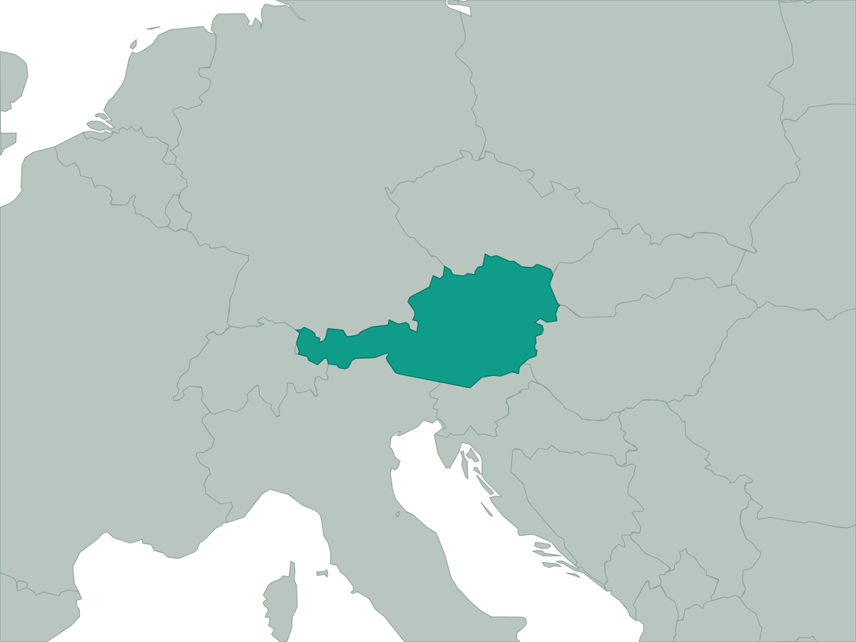 Austria
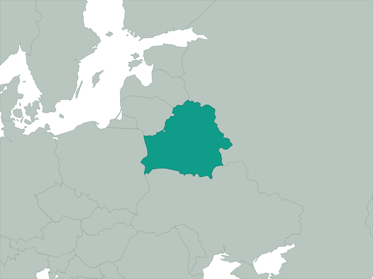 Belarus
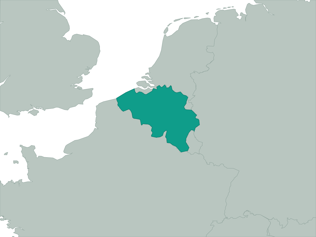 Belgium
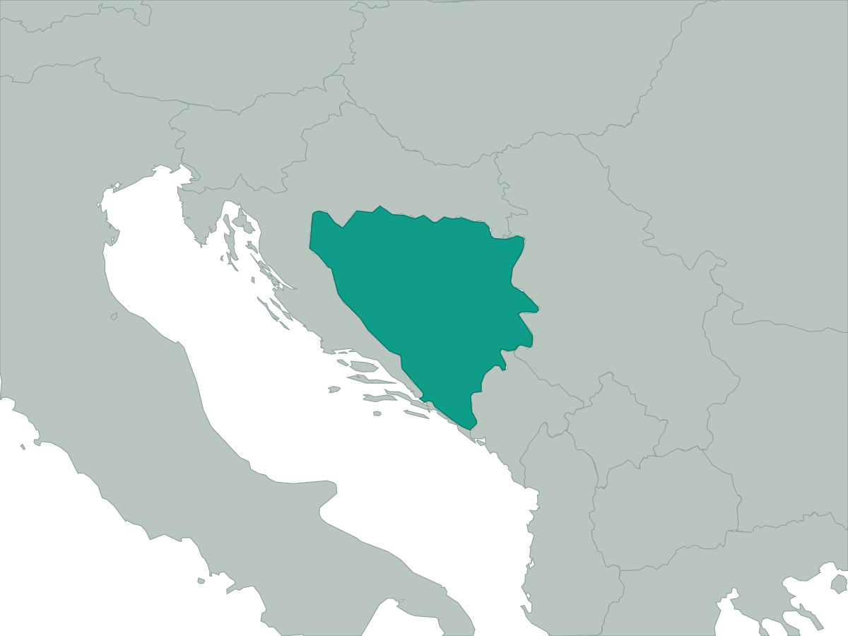 Bosnia and Herzegovina
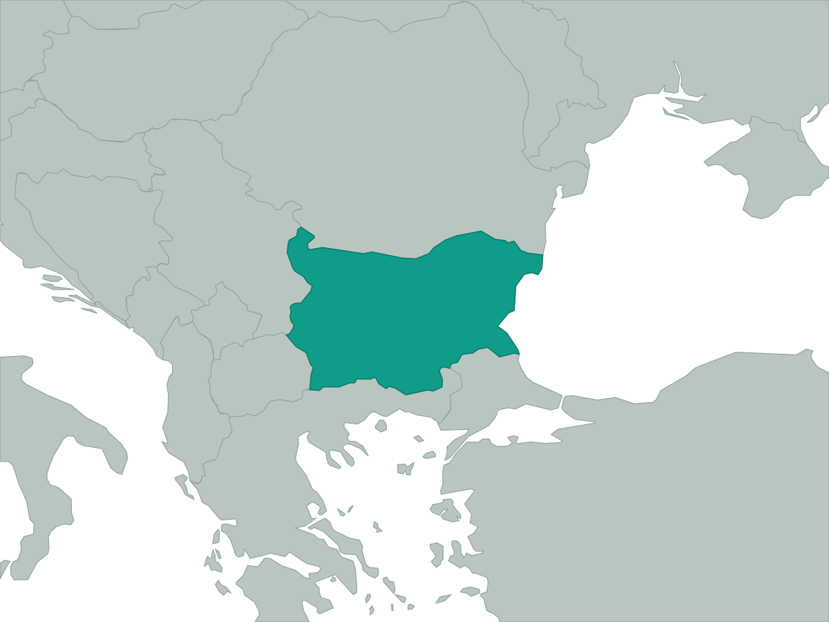 Bulgaria
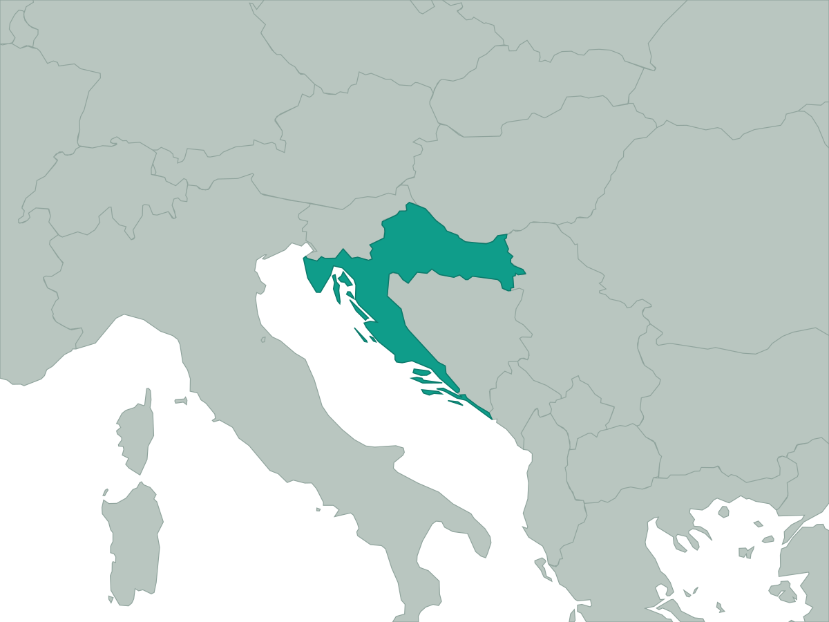 Croatia
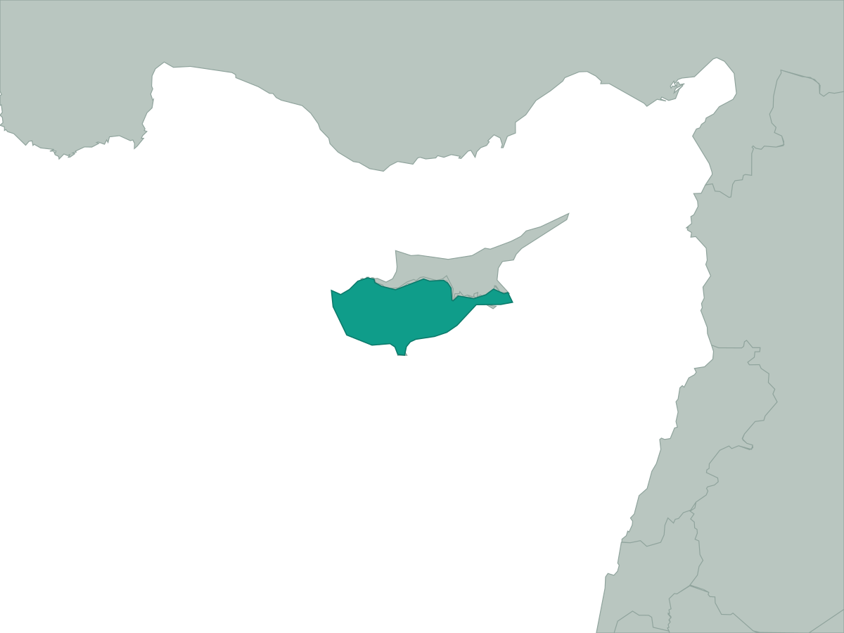 Cyprus
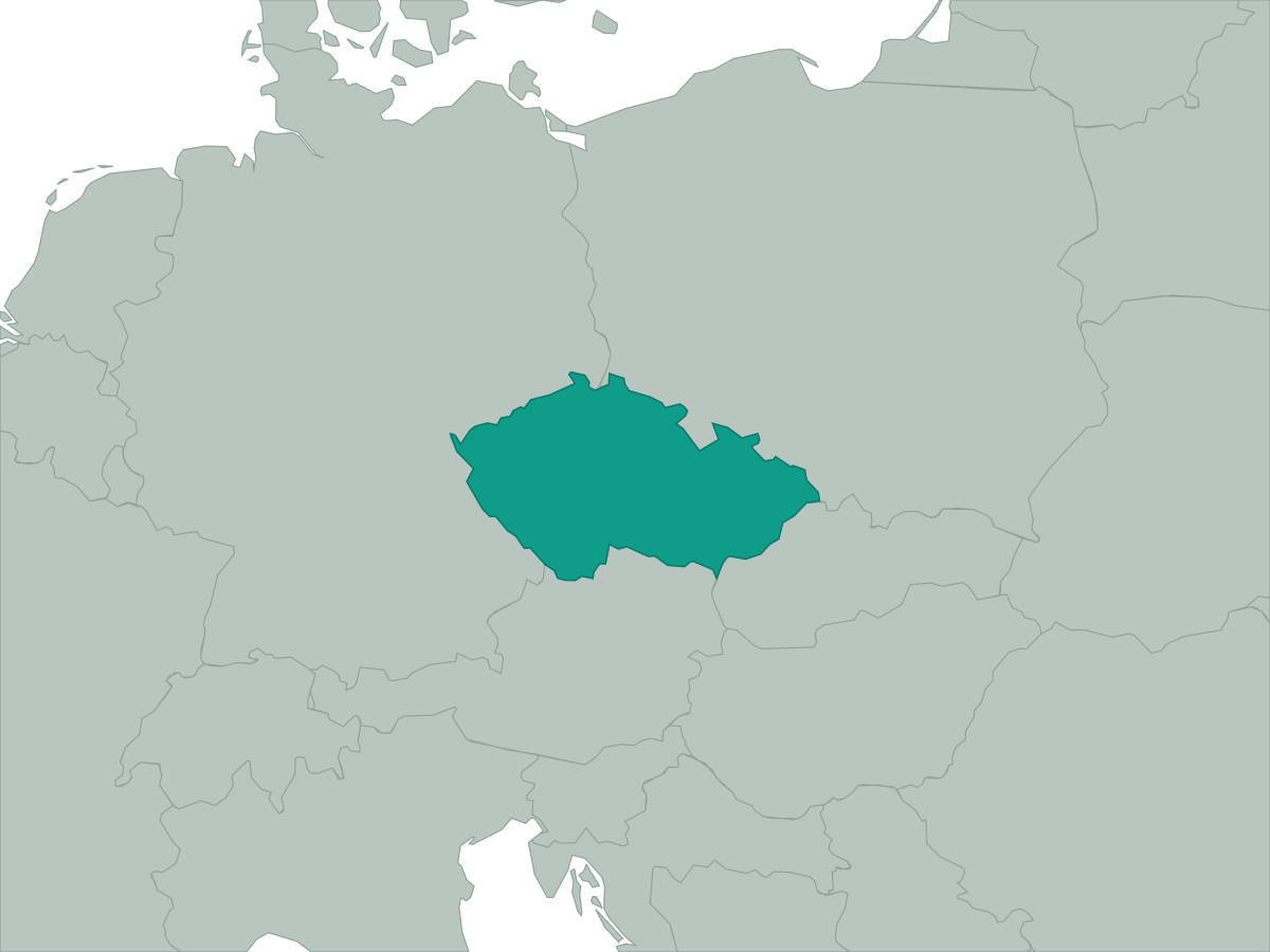 Czech Republic
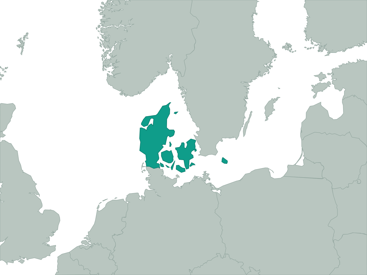 Denmark
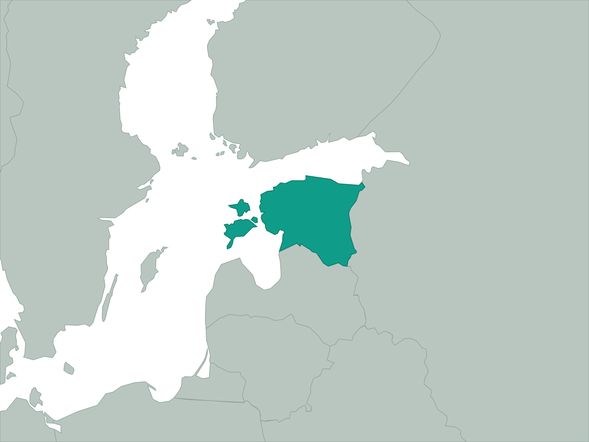 Estonia
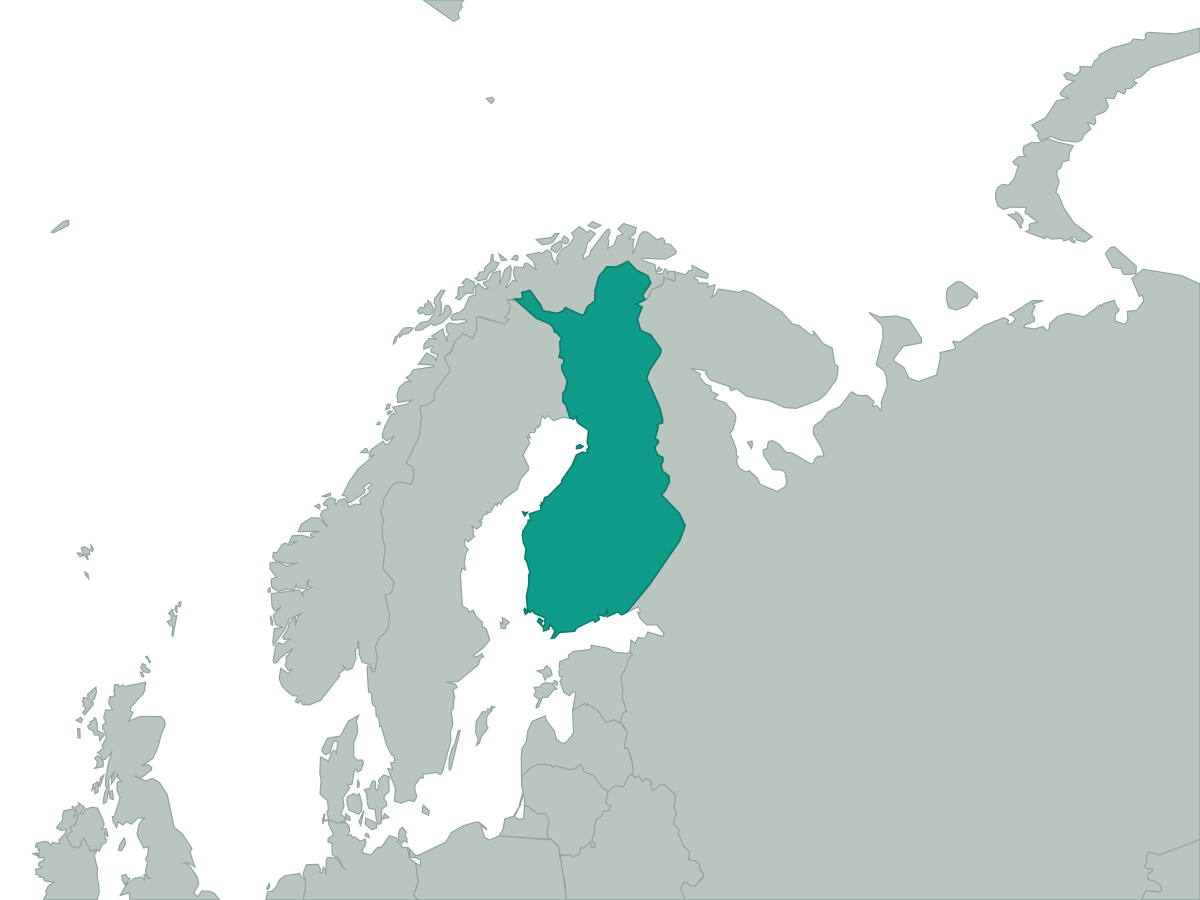 Finland
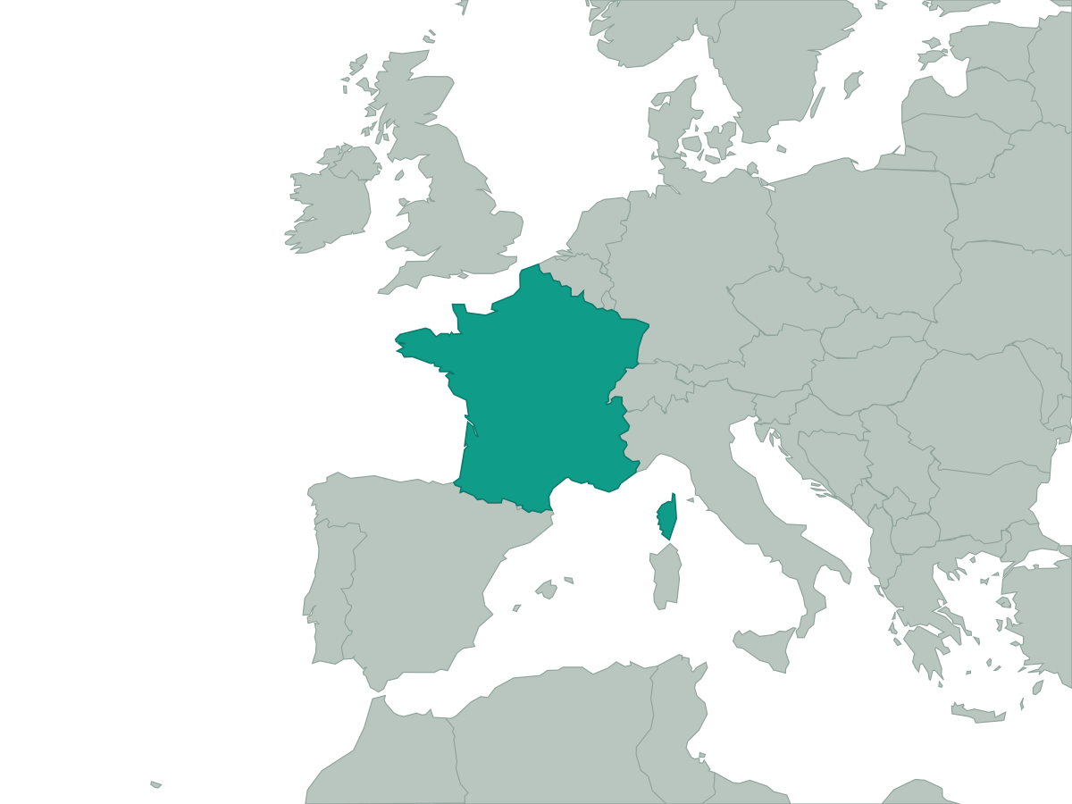 France
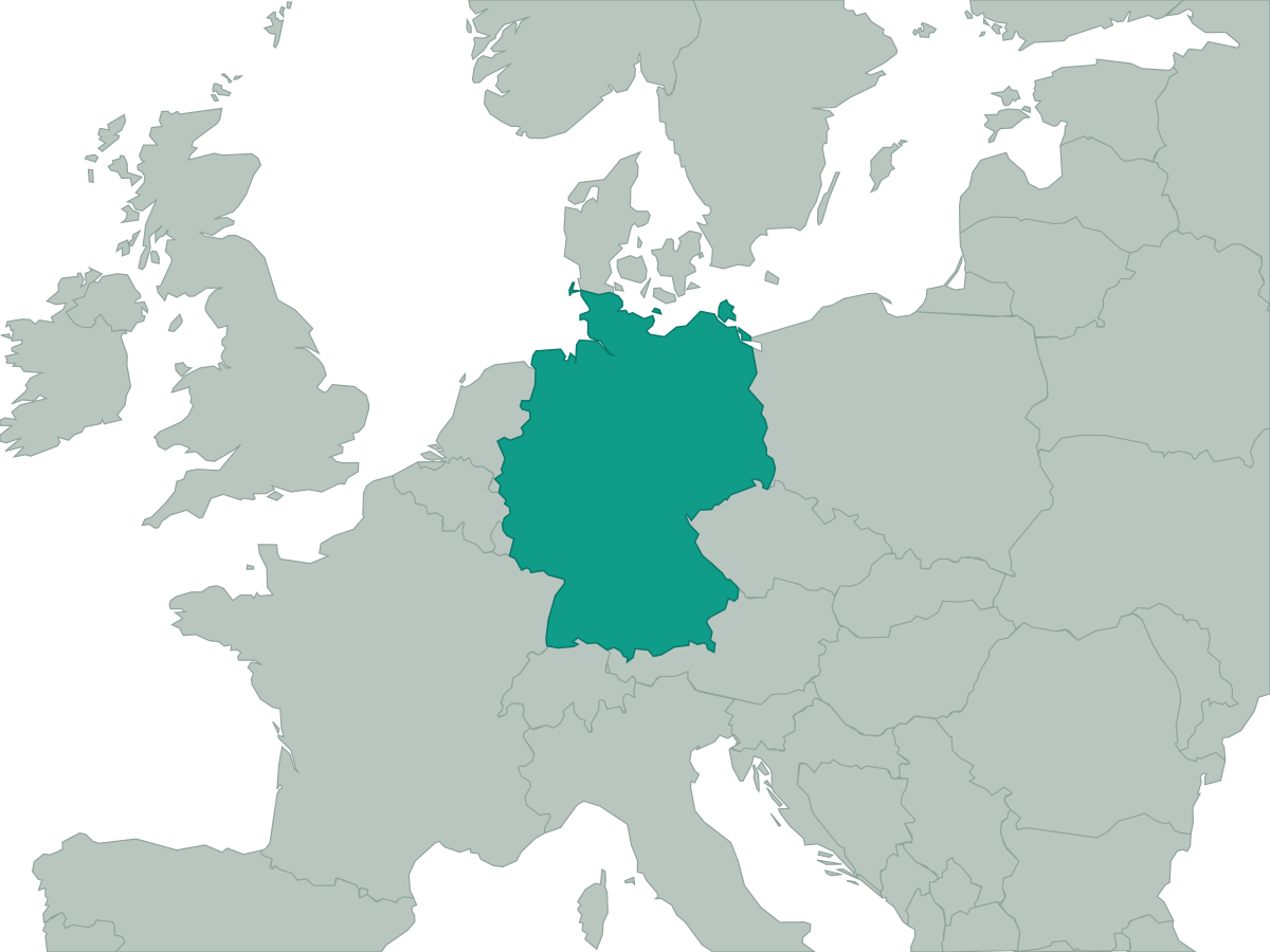 Germany
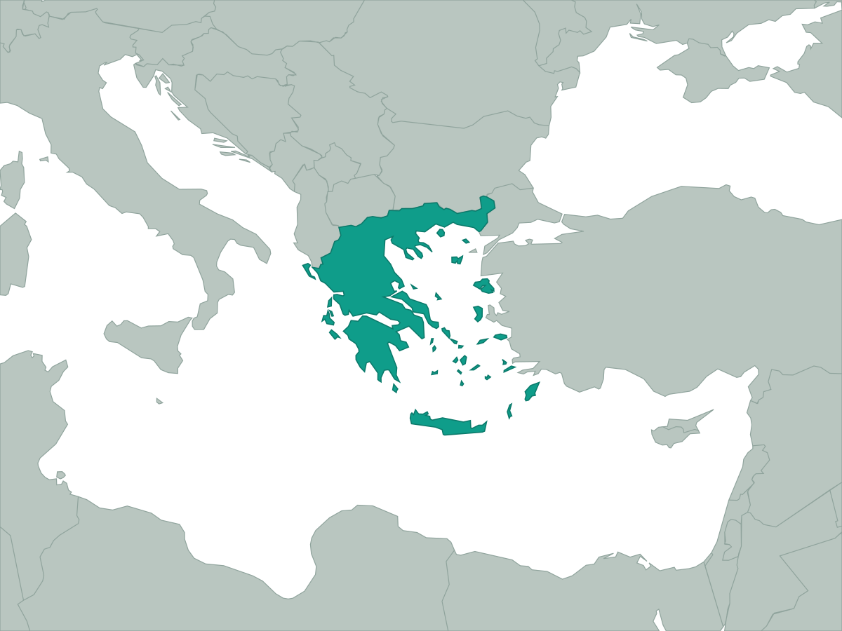 Greece
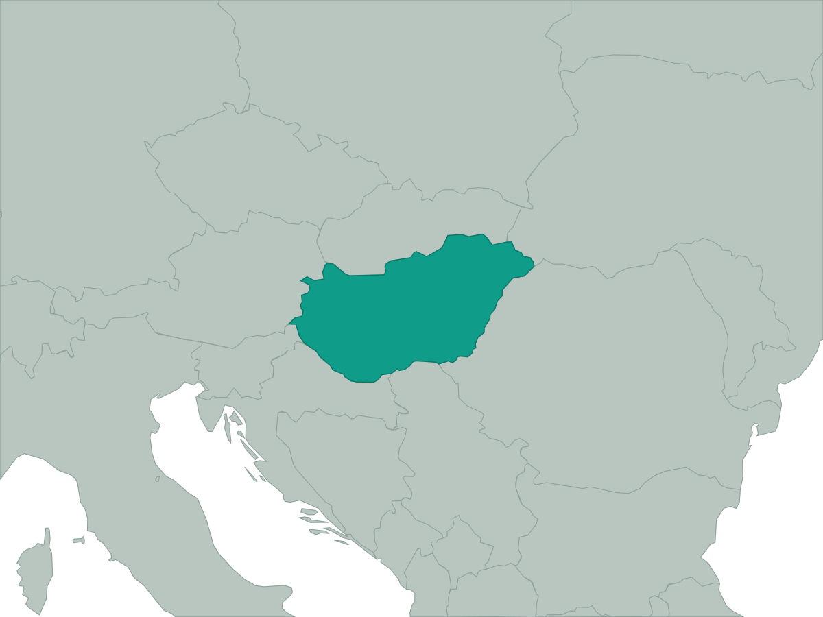 Hungary
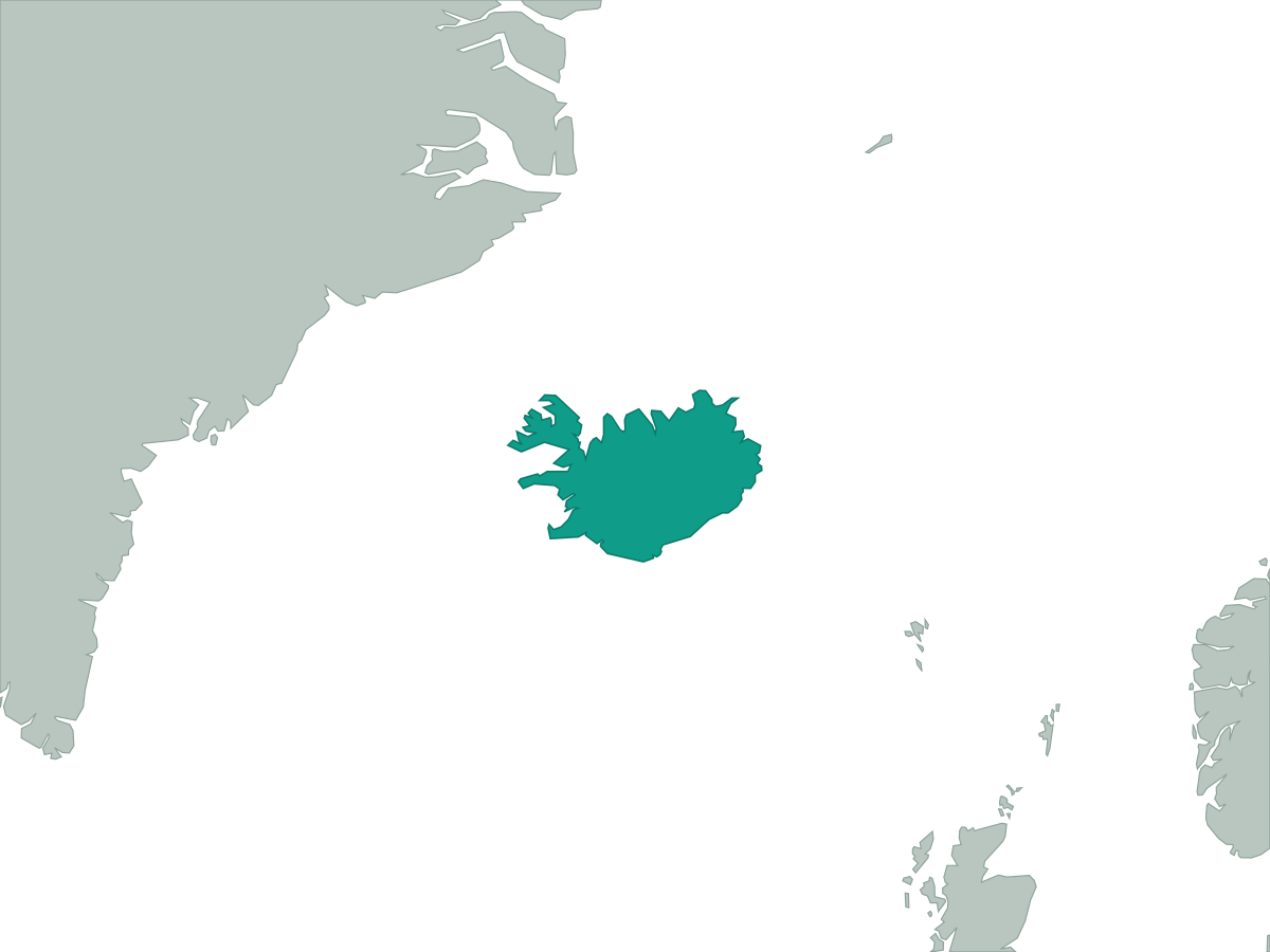 Iceland
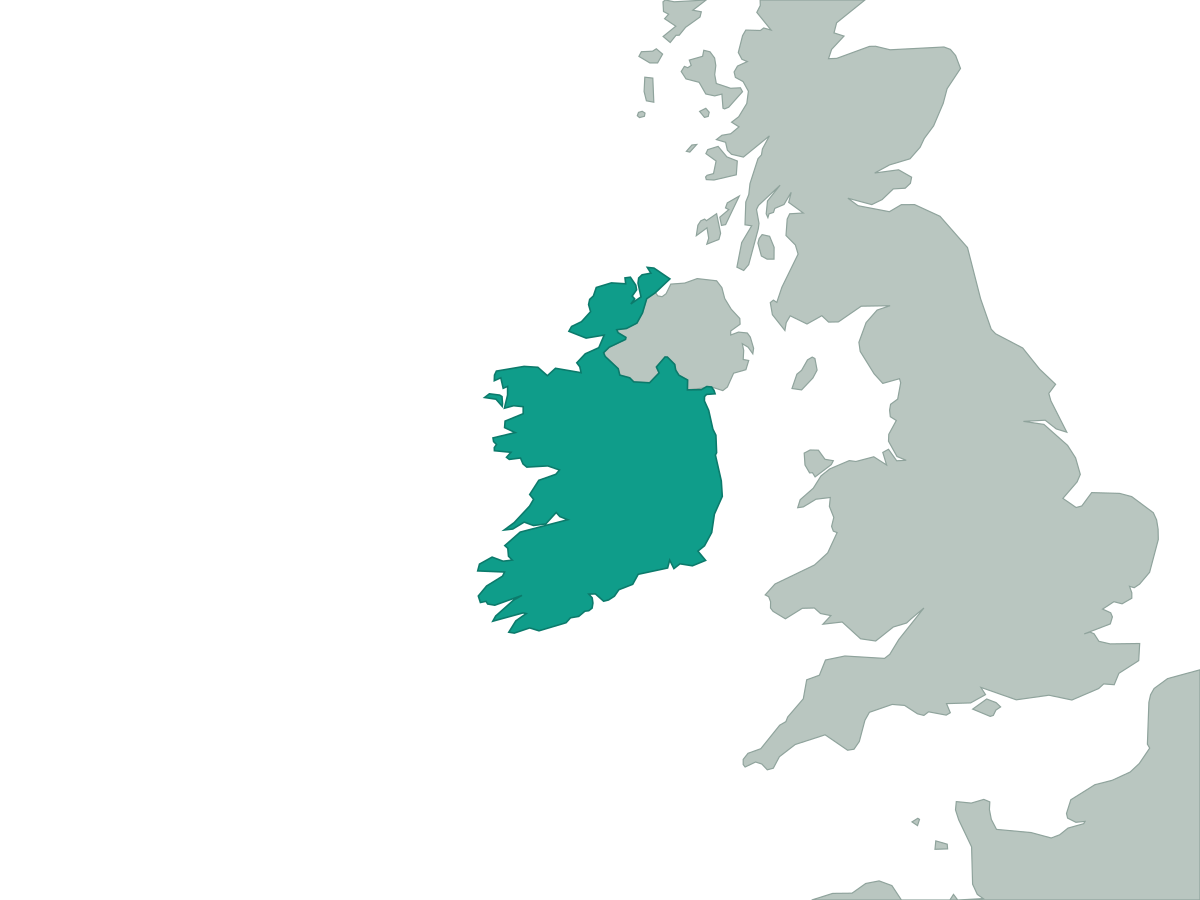 Ireland
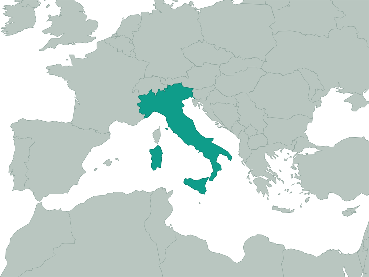 Italy
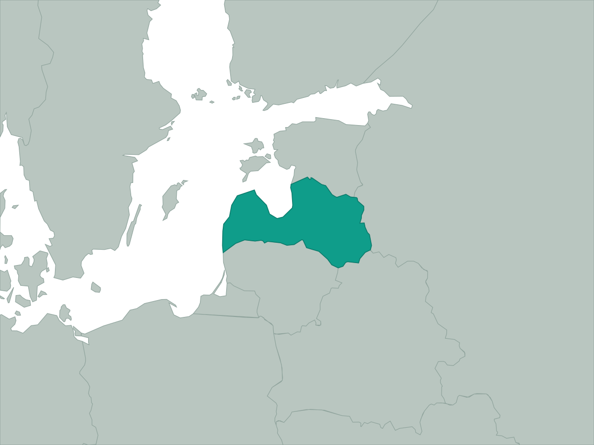 Latvia
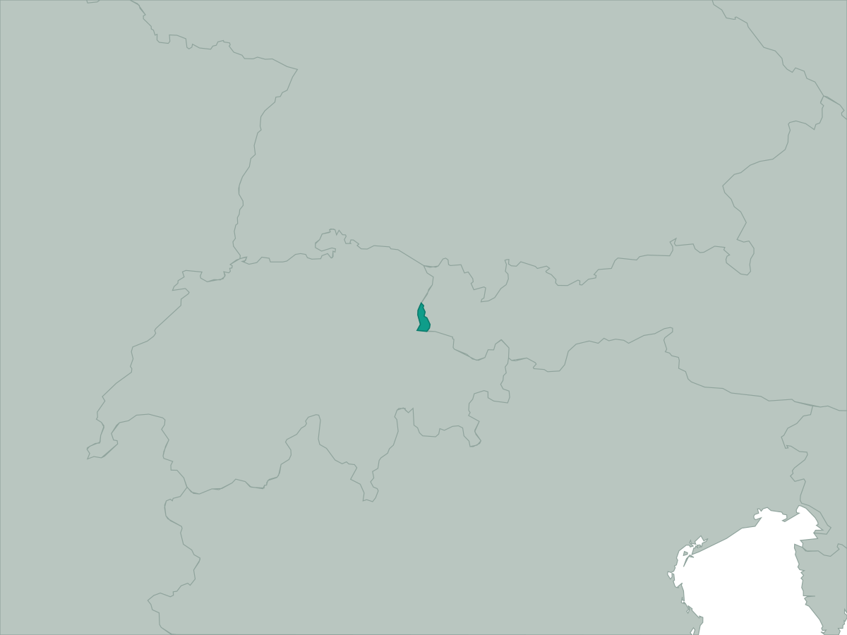 Liechtenstein
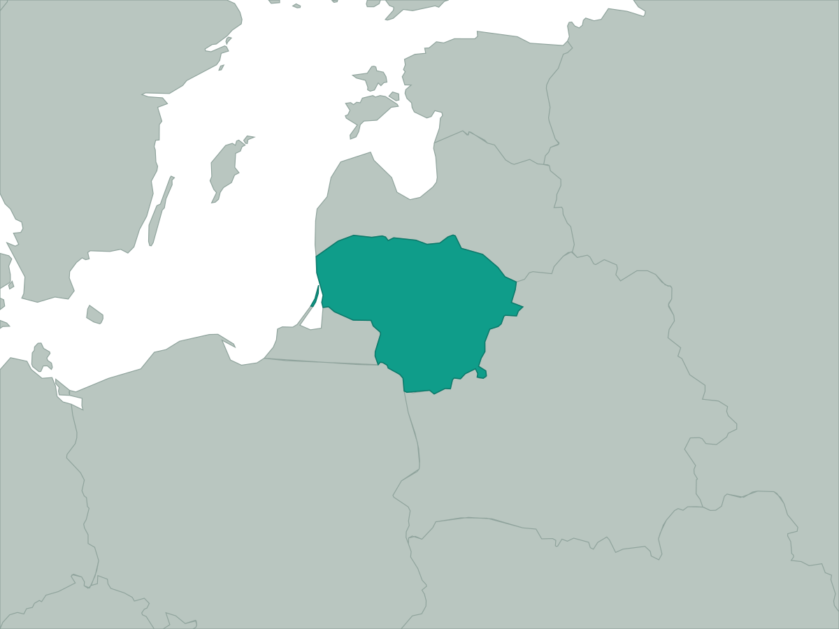 Lithuania
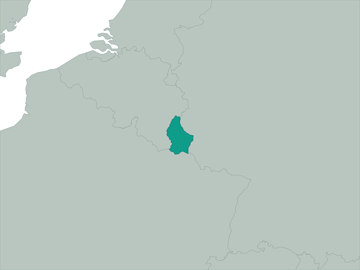 Luxembourg
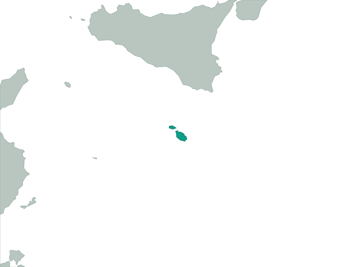 Malta
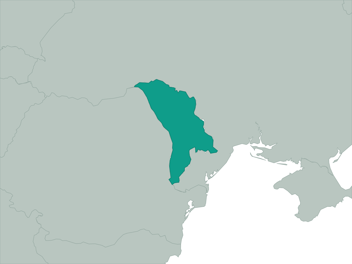 Moldova
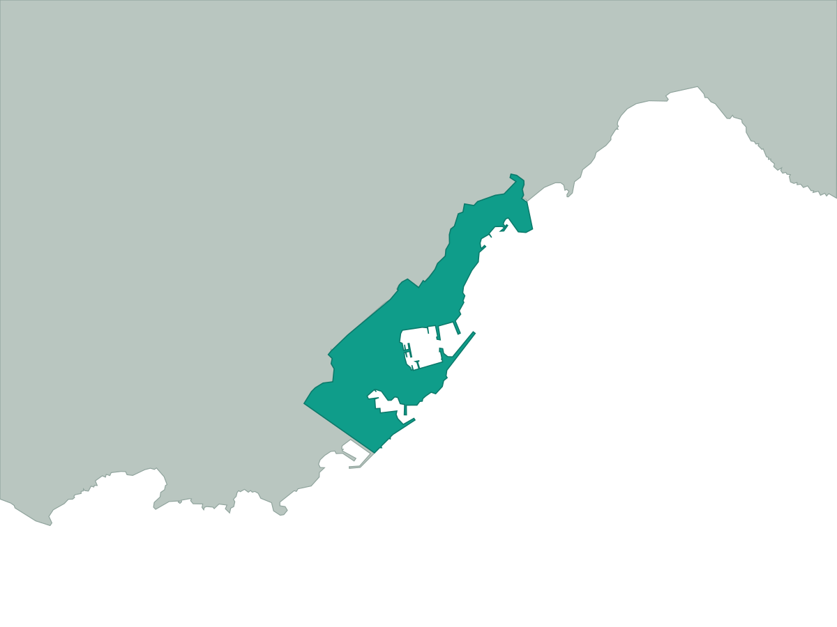 Monaco
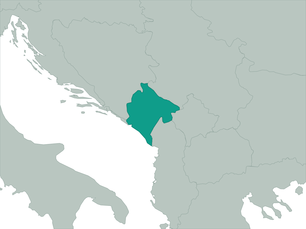 Montenegro
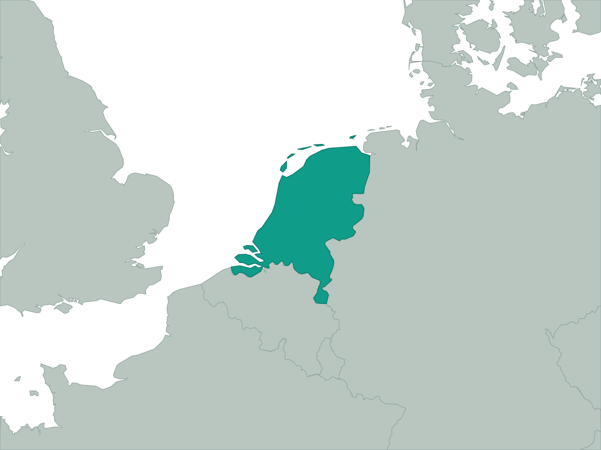 Netherlands
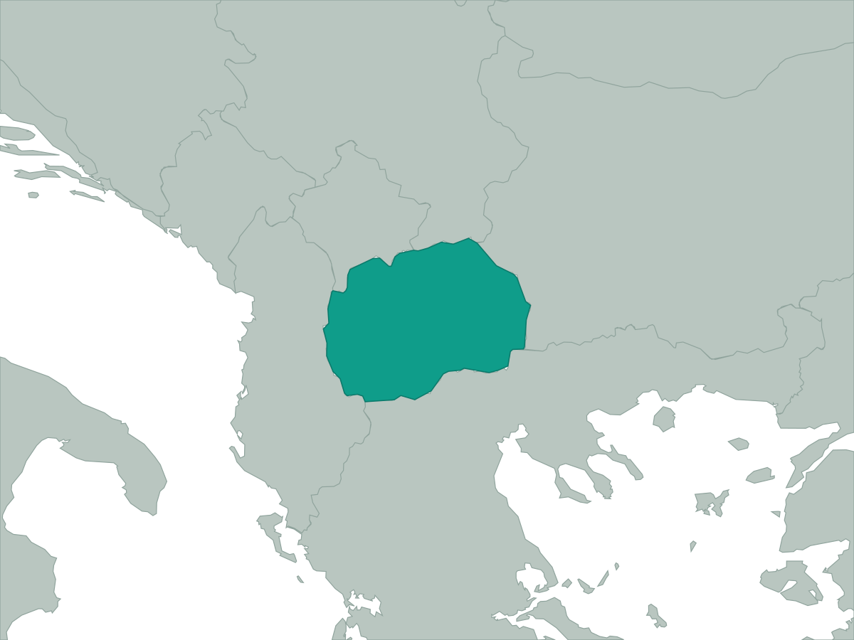 North Macedonia
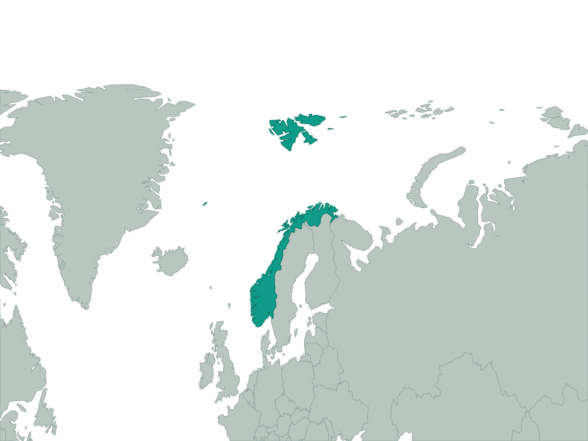 Norway
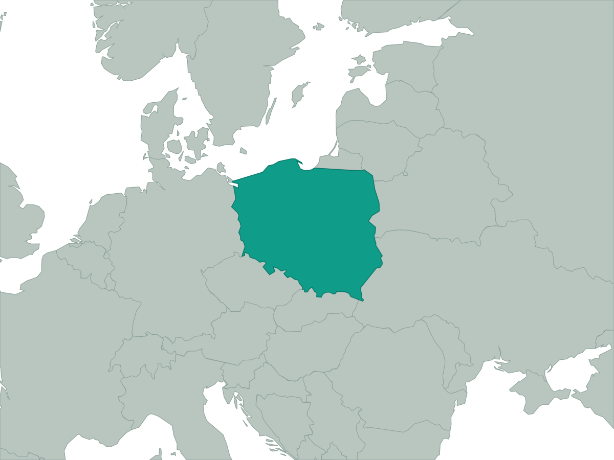 Poland
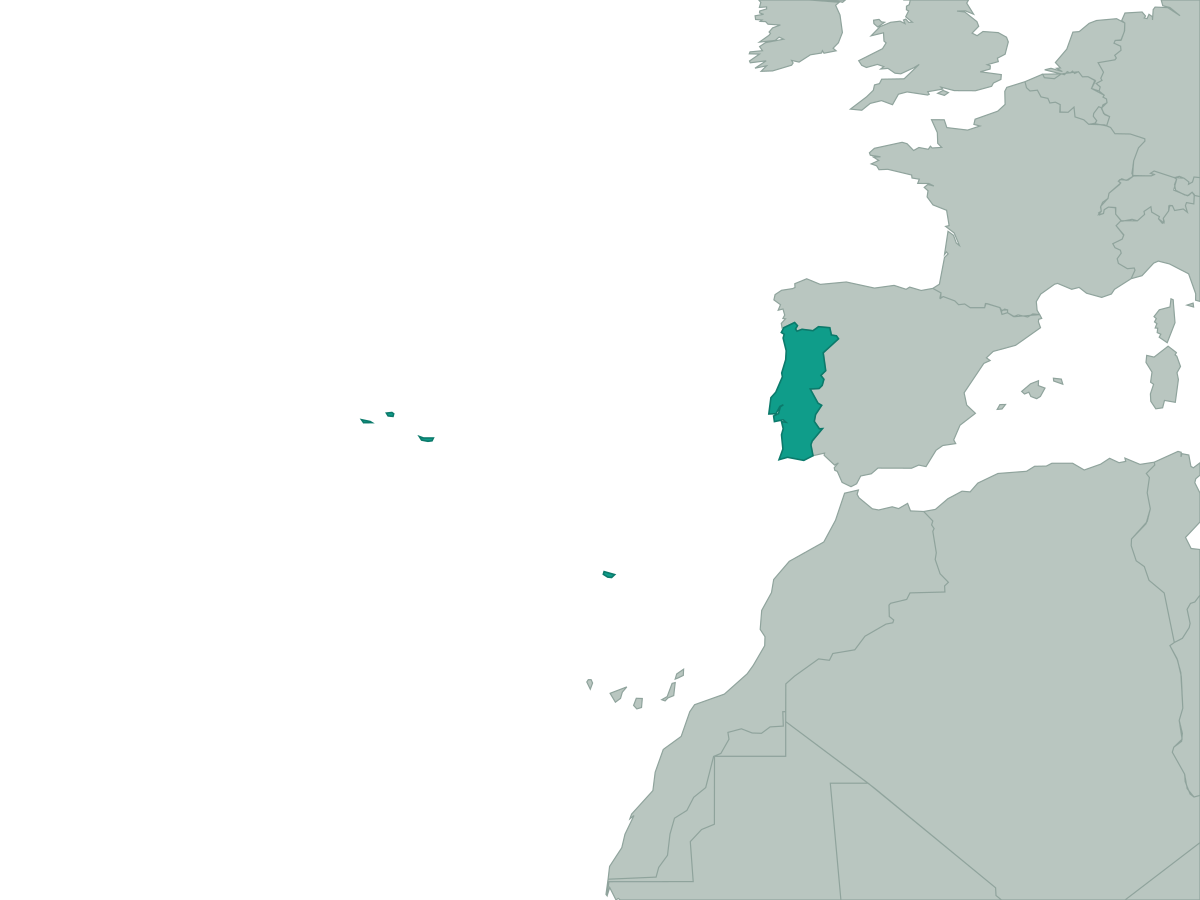 Portugal
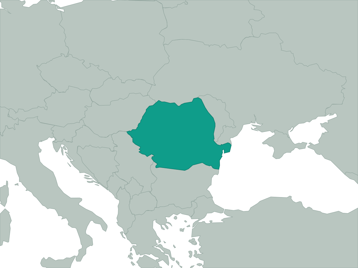 Romania
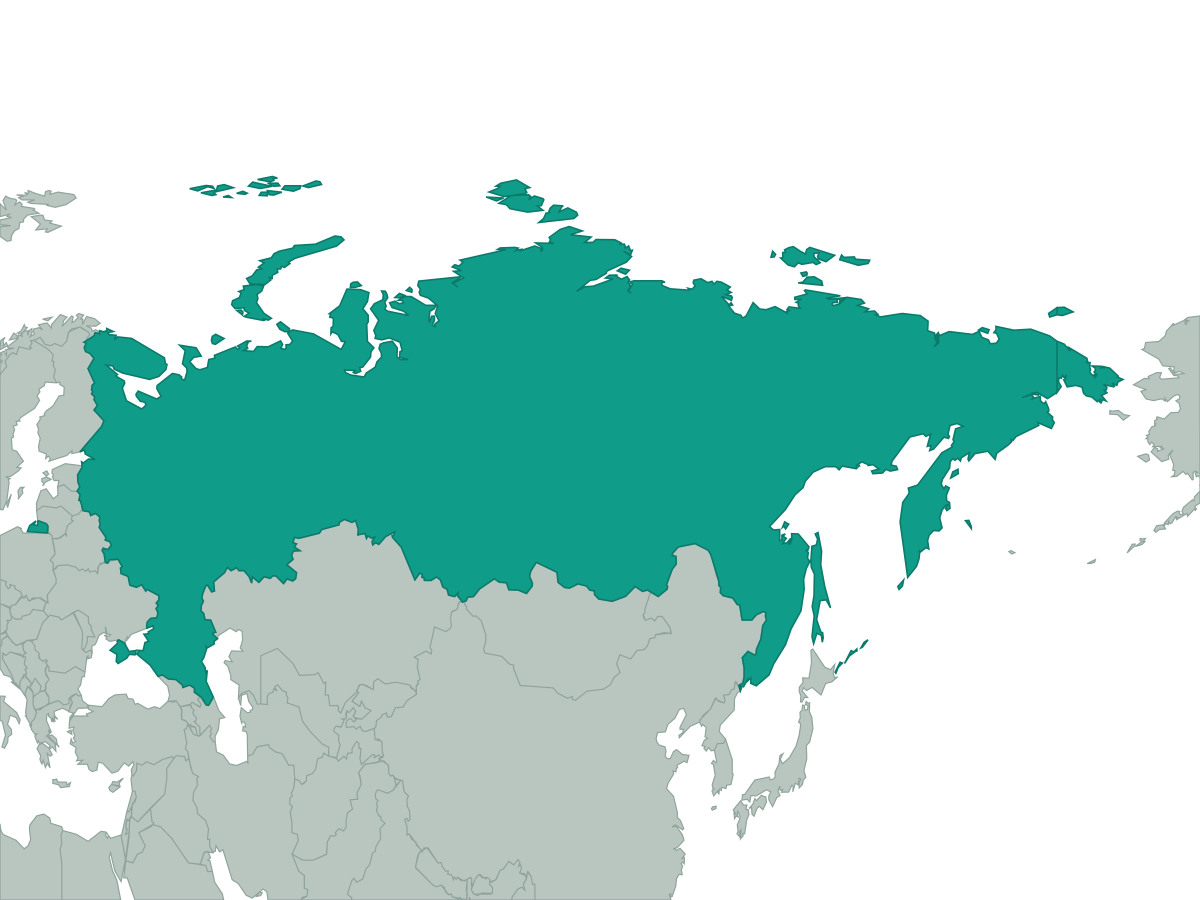 Russia
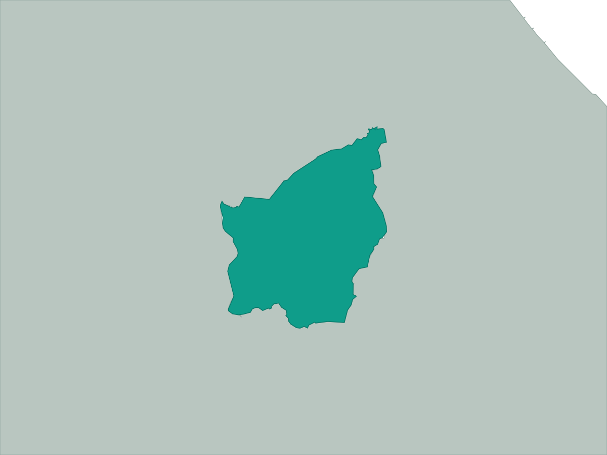 San Marino
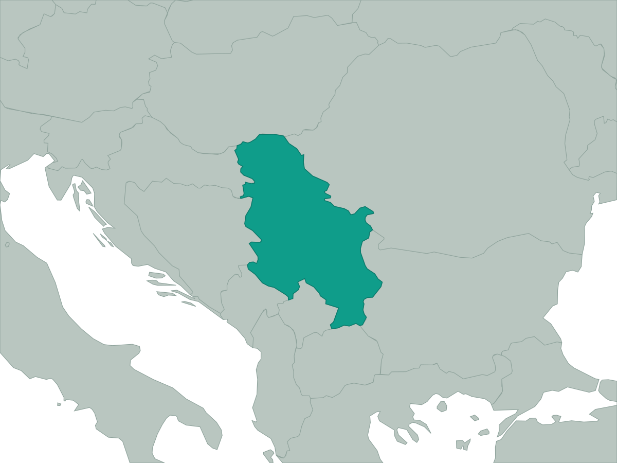 Serbia
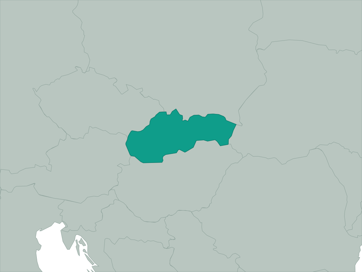 Slovakia
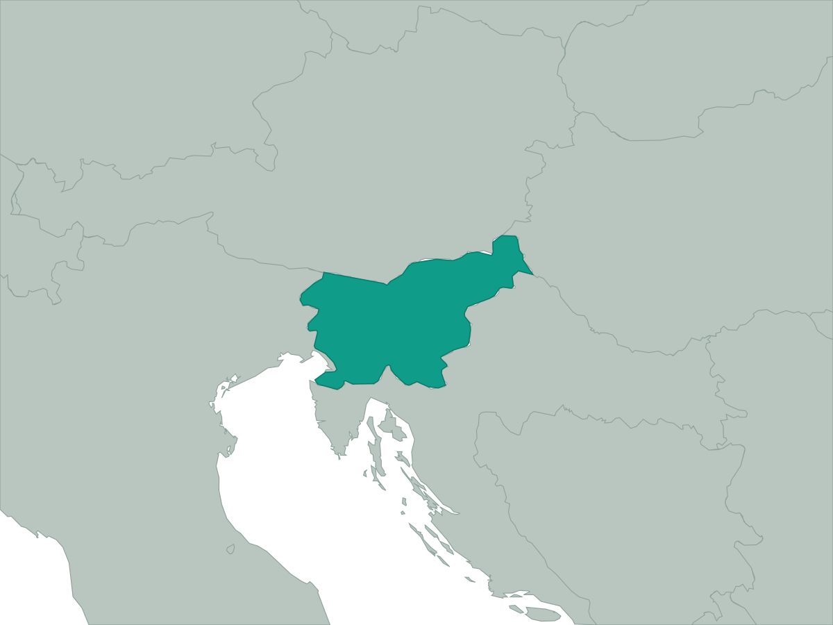 Slovenia
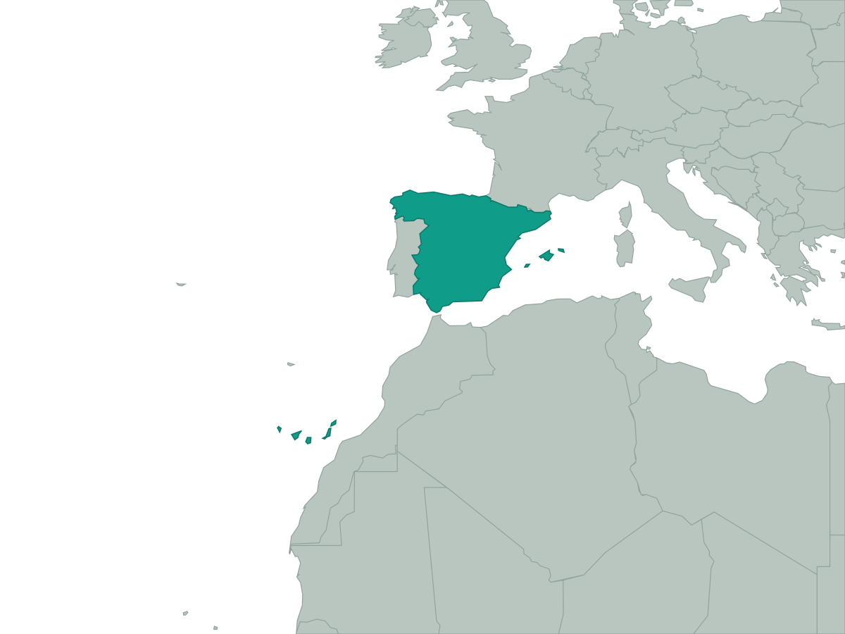 Spain
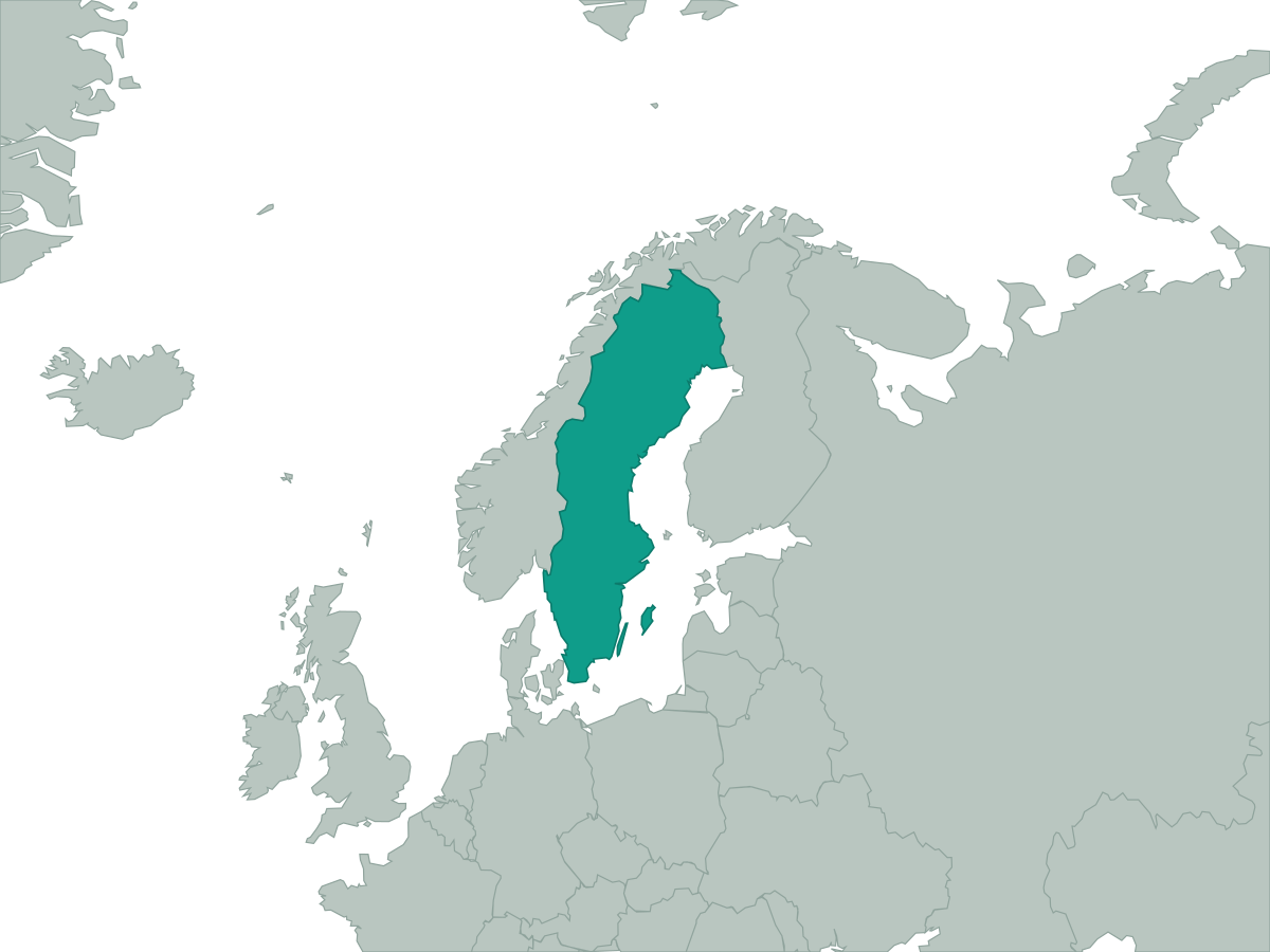 Sweden
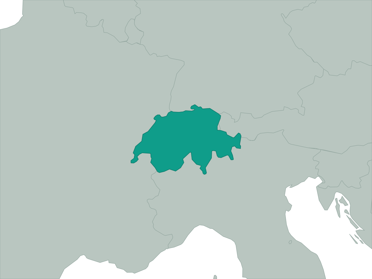 Switzerland
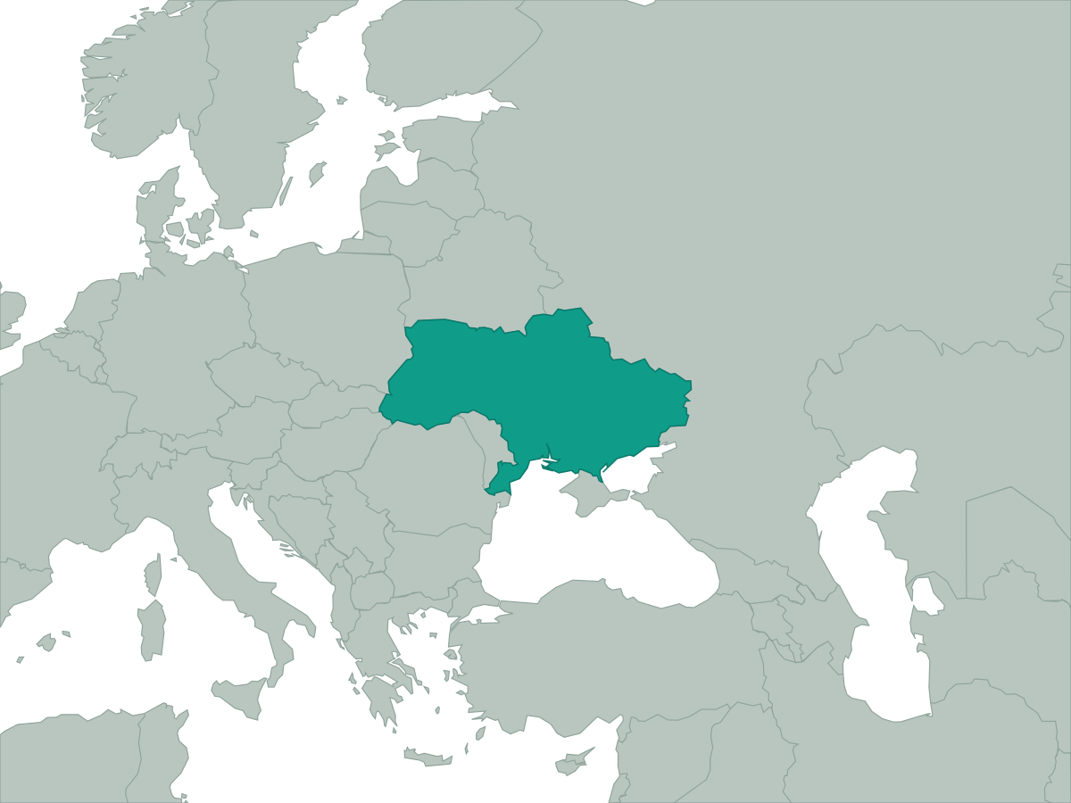 Ukraine
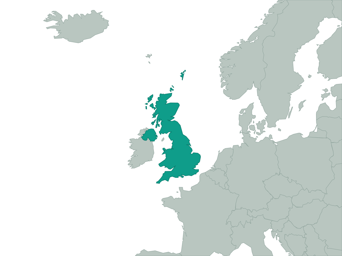 United Kingdom
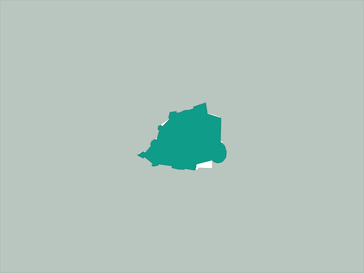 Vatican City