
Maps & Shapes of Africa
The outline of each of the 54 countries from Africa, exactly as it appears in the Countries mode. Recognising the shape alone — no names, no colours — trains spatial visualisation more than memory.
Good to know
Africa has more countries than any other continent and more landlocked countries too, mostly across the Sahel and the centre-south. Some outlines are unmistakable: The Gambia follows its river deep into Senegal, Lesotho is completely surrounded by South Africa, and Algeria is the largest country on the continent.
At a glance
- Countries
- 54
- Total population
- 1.5B
- Total area
- 30,088,466 km²
- Most populous
- Nigeria (238M)
- Least populous
- Seychelles (123K)
- Largest by area
- Algeria (2,381,741 km²)
- Smallest by area
- Seychelles (459 km²)
Borders and coastlines
- Landlocked countries
- 16 — Botswana, Burkina Faso, Burundi, Central African Republic, Chad, Eswatini, Ethiopia, Lesotho, Malawi, Mali, Niger, Rwanda, South Sudan, Uganda, Zambia, Zimbabwe
- Island nations
- 6 — Cape Verde, Comoros, Madagascar, Mauritius, Sao Tome and Principe, Seychelles
- Most land borders
- Democratic Republic of the Congo (9 land borders)
Population, area, coordinates and flag colours come from the same curated country data the game uses.
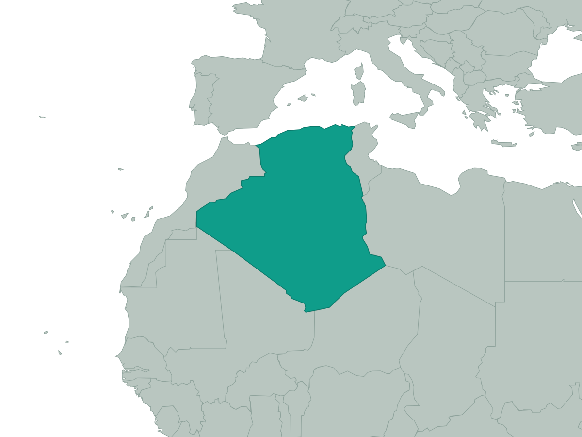 Algeria
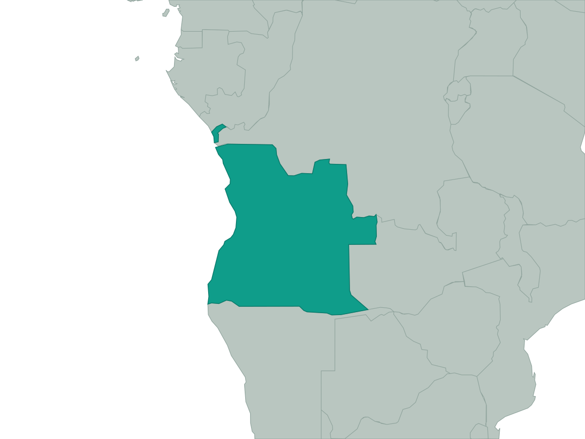 Angola
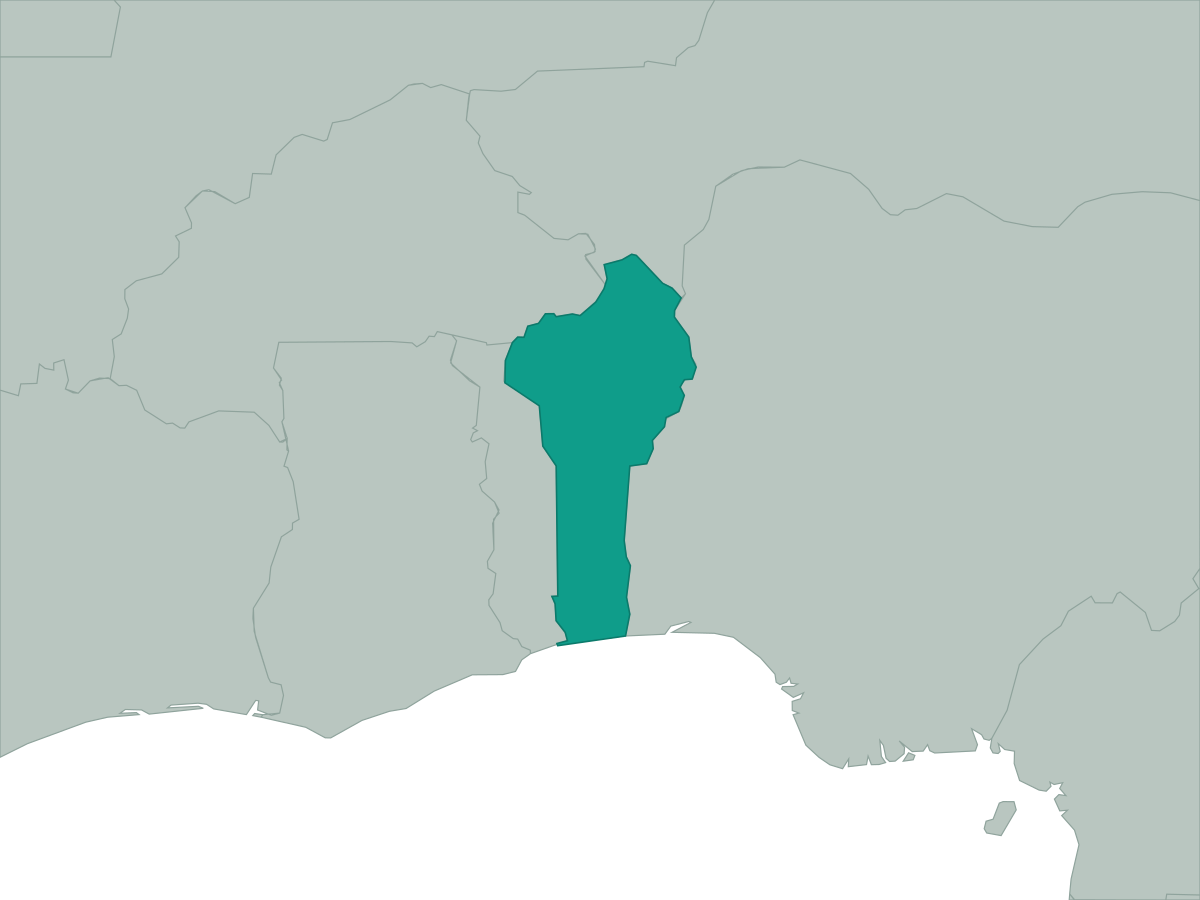 Benin
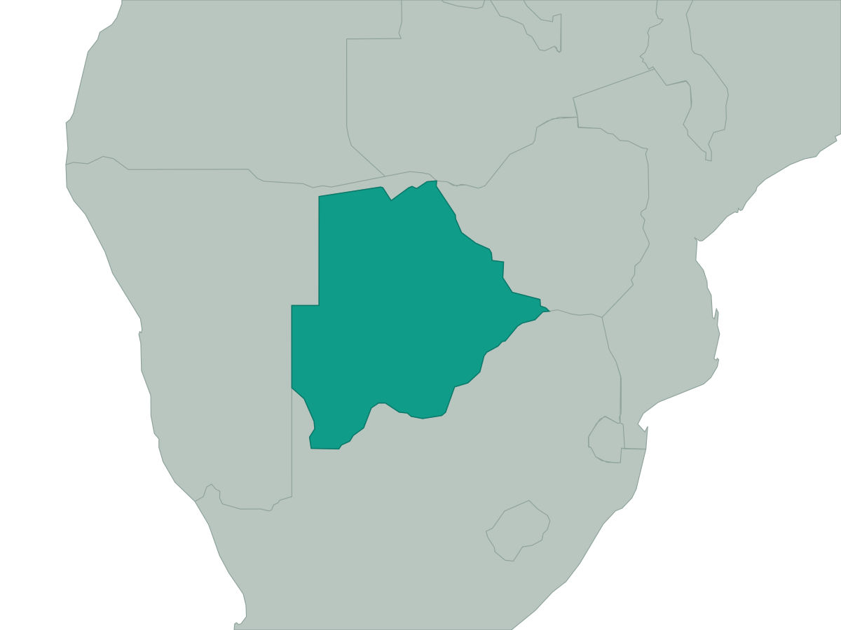 Botswana
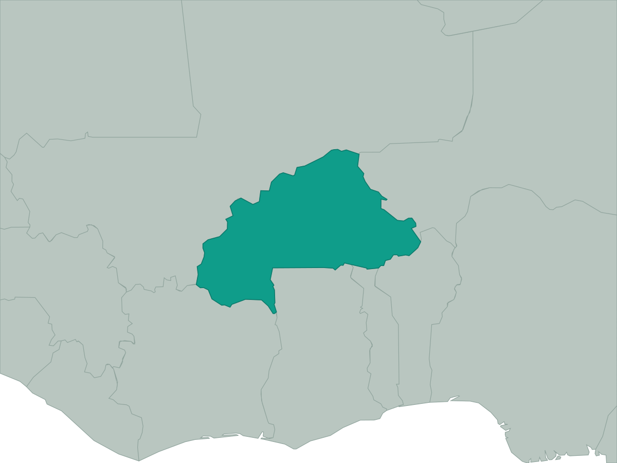 Burkina Faso
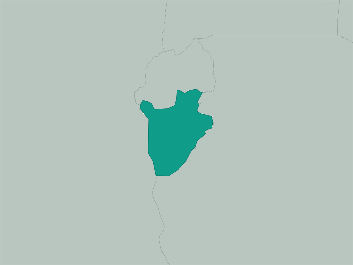 Burundi
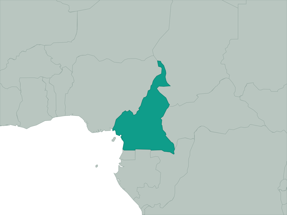 Cameroon
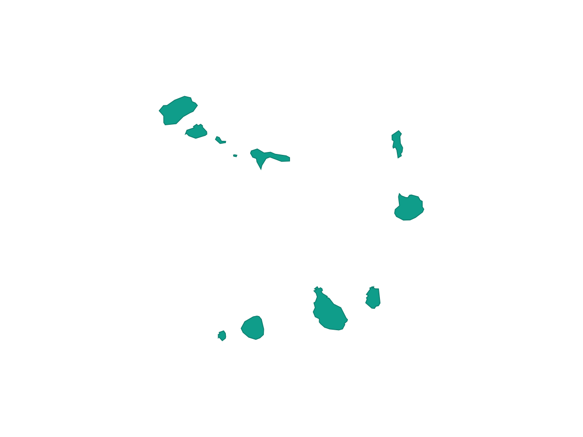 Cape Verde
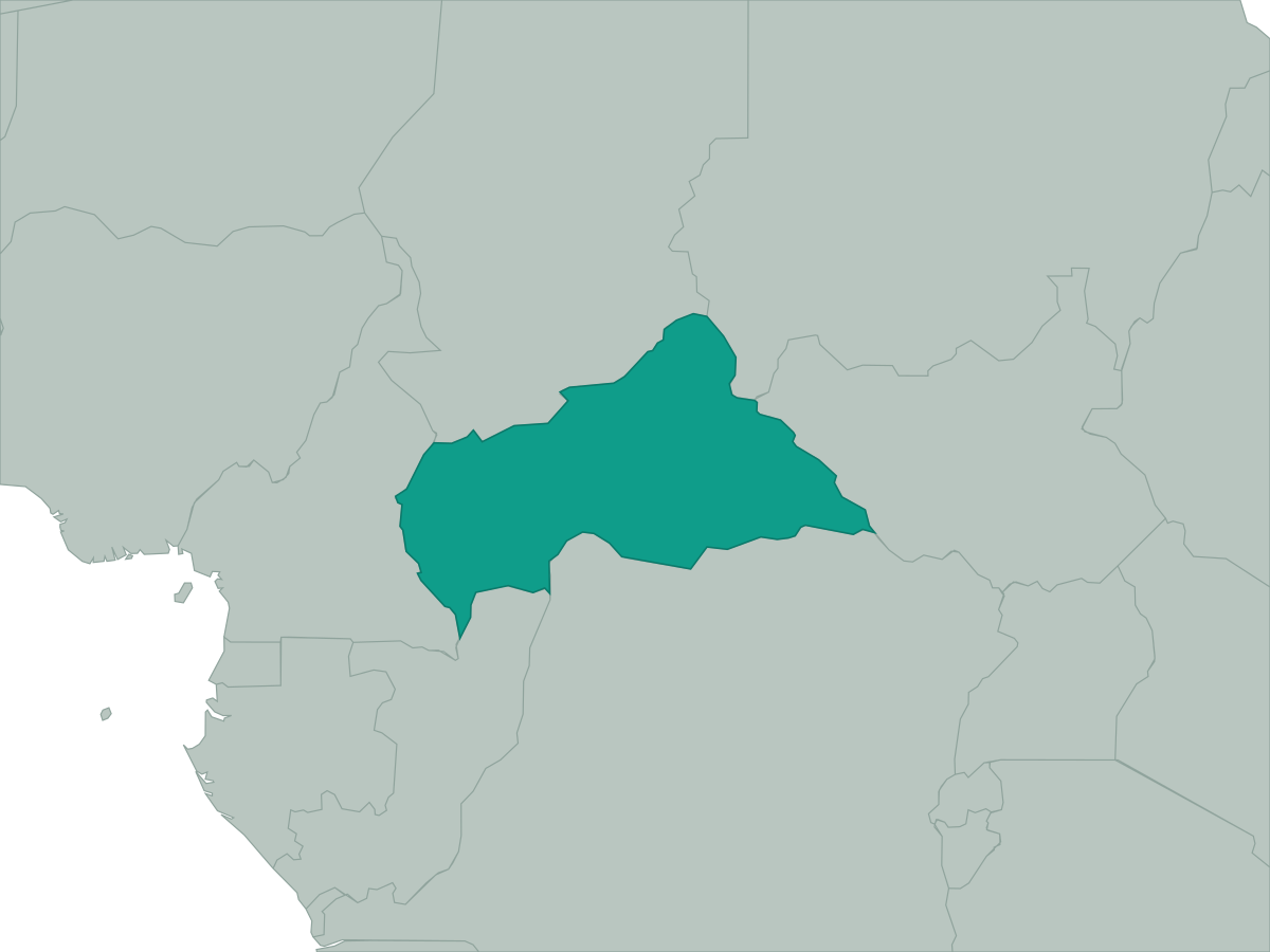 Central African Republic
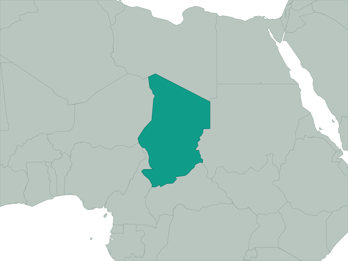 Chad
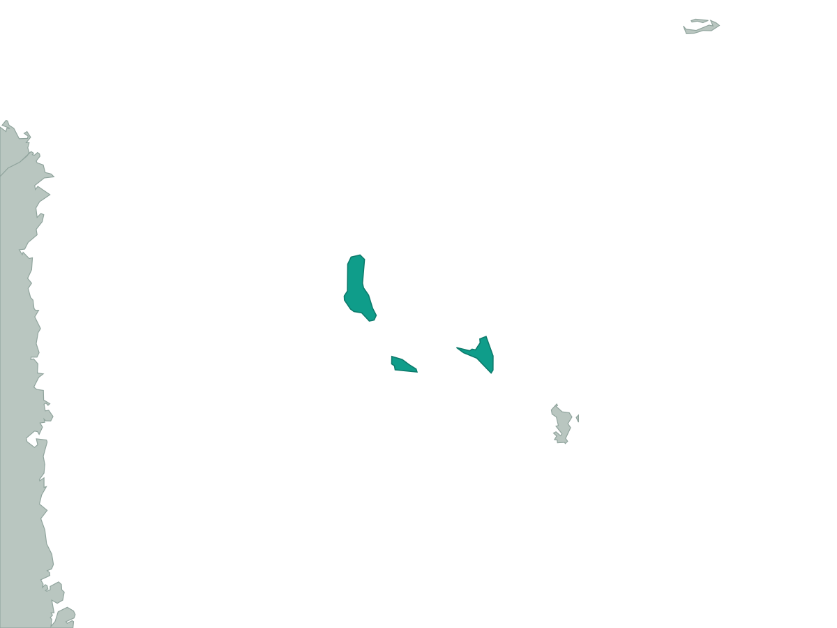 Comoros
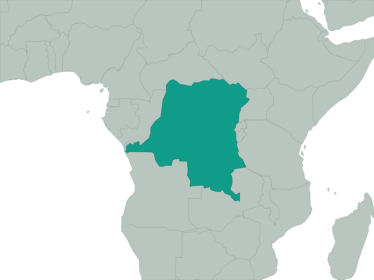 Democratic Republic of the Congo
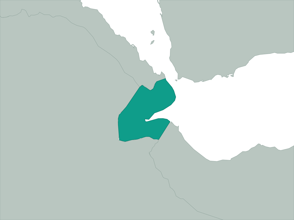 Djibouti
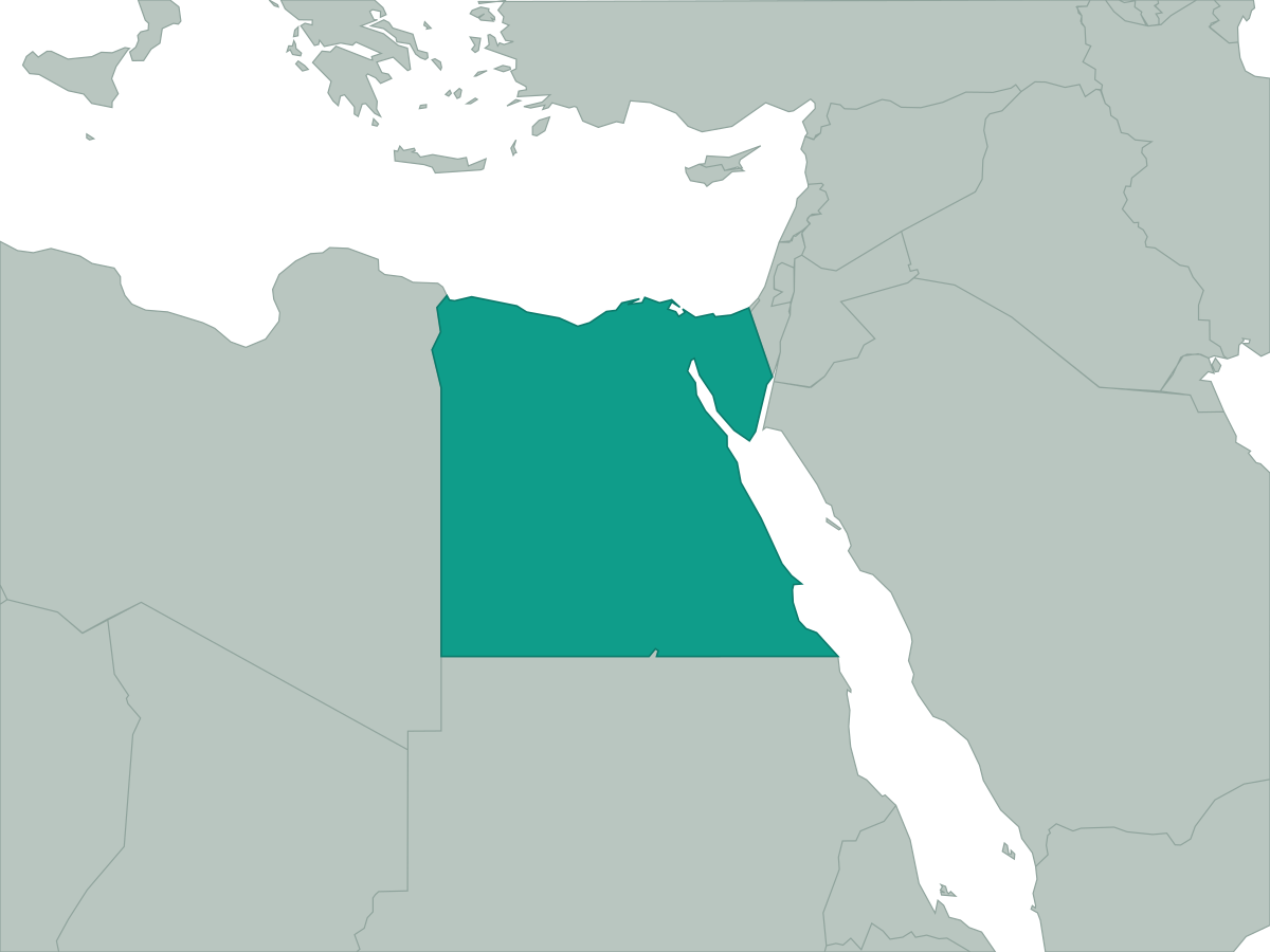 Egypt
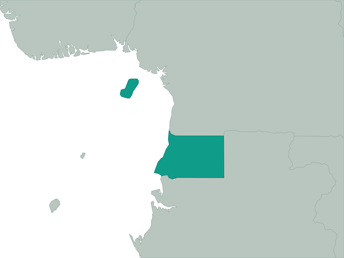 Equatorial Guinea
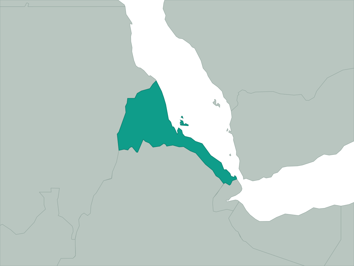 Eritrea
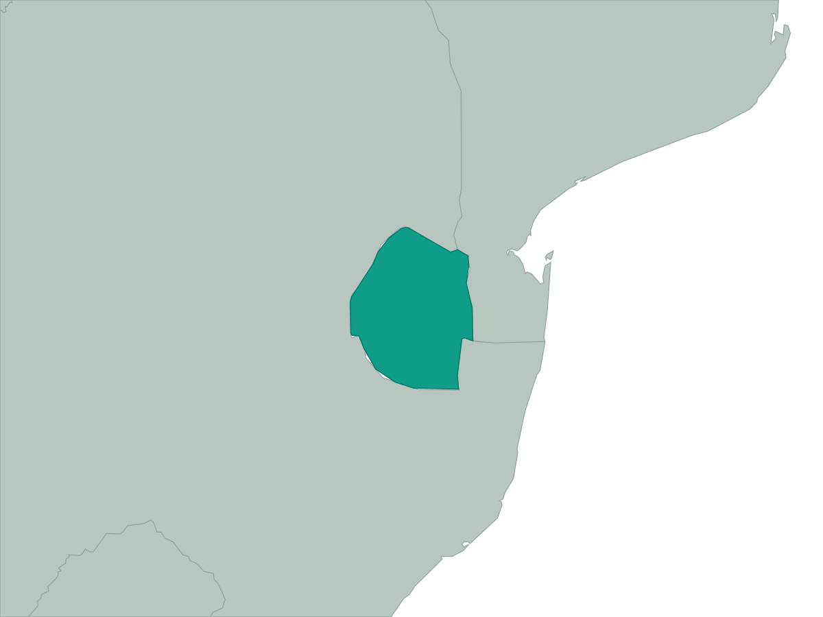 Eswatini
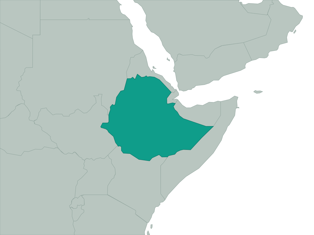 Ethiopia
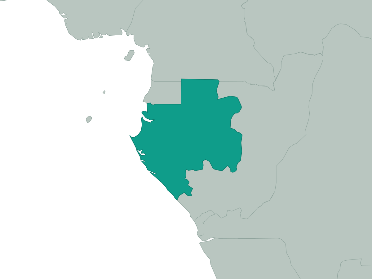 Gabon
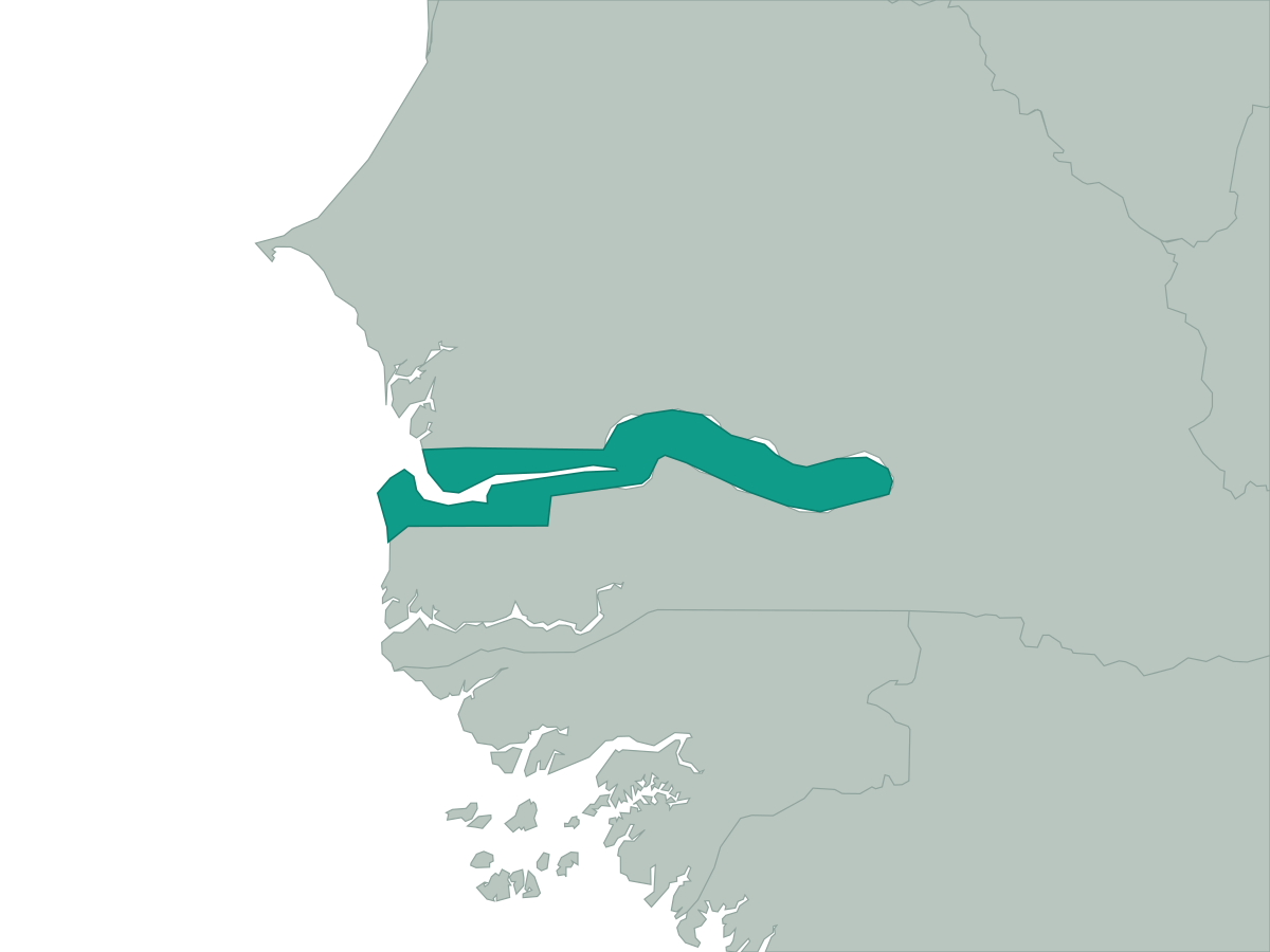 Gambia
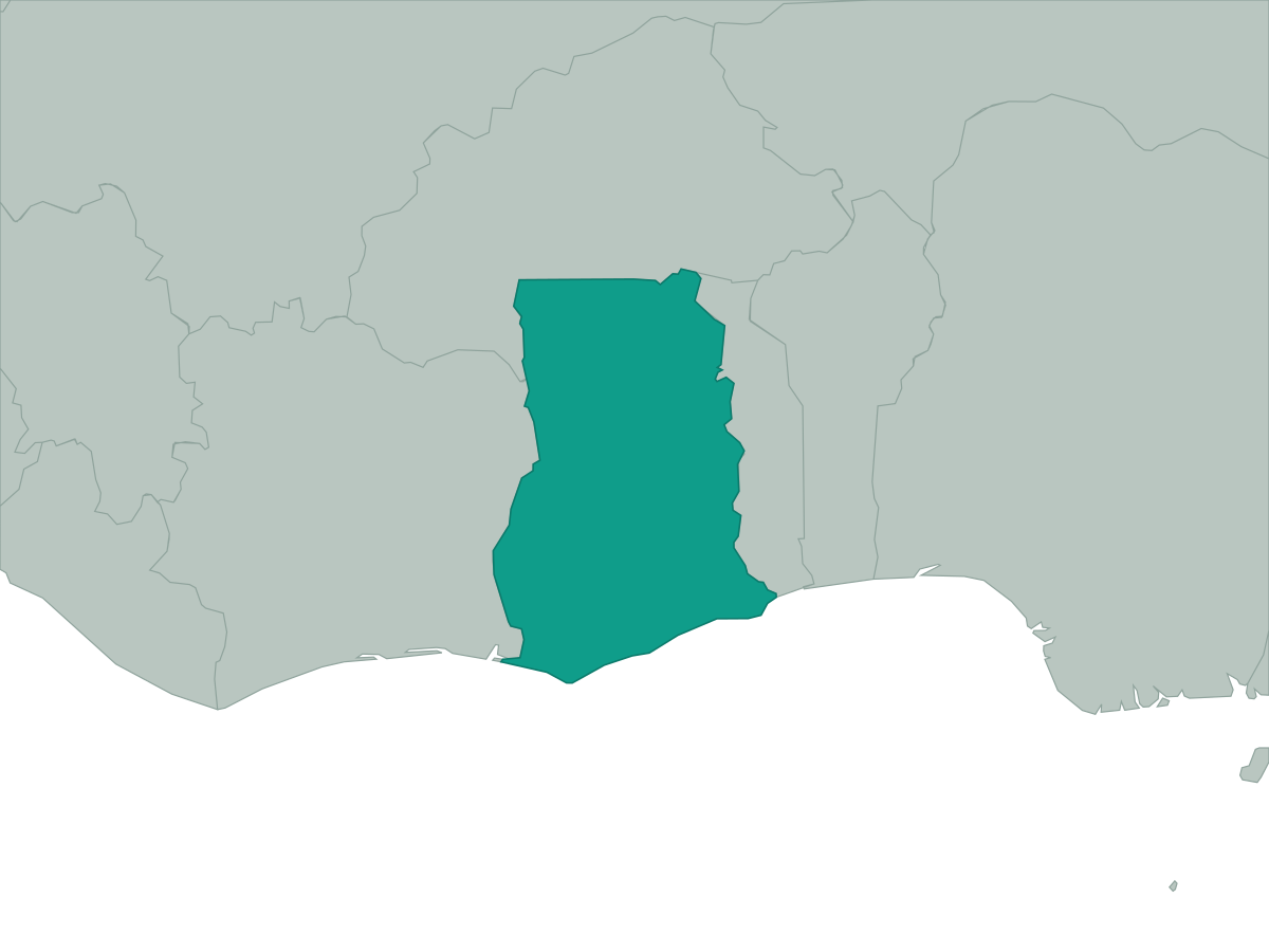 Ghana
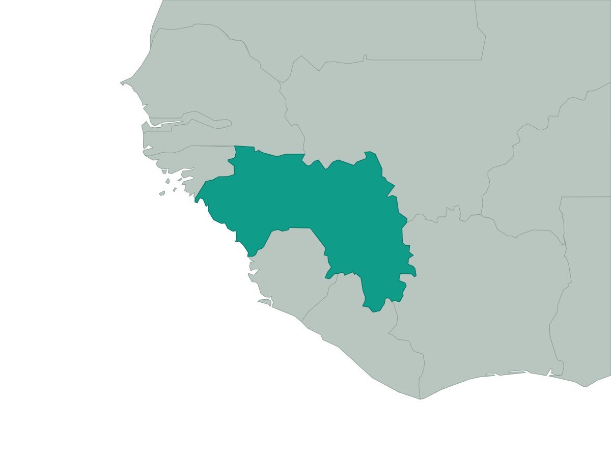 Guinea
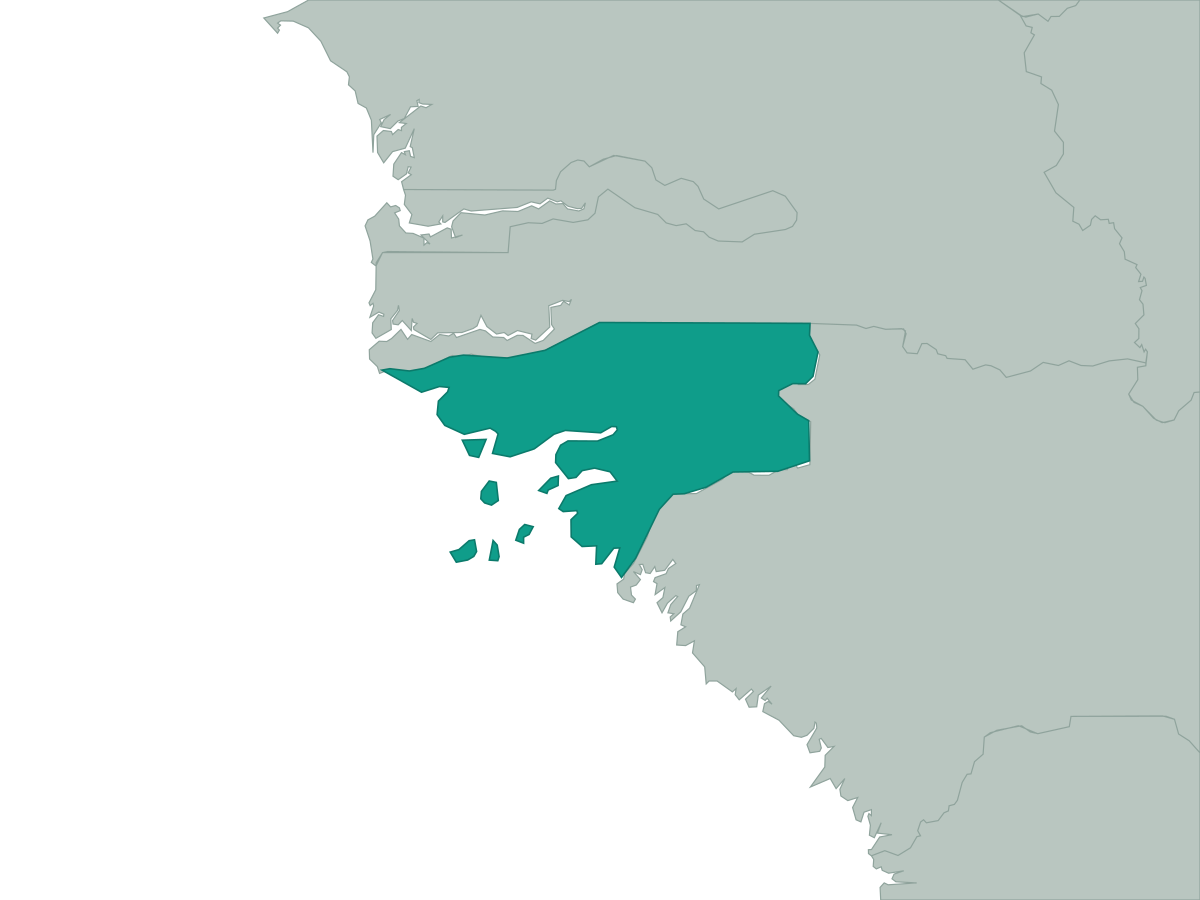 Guinea-Bissau
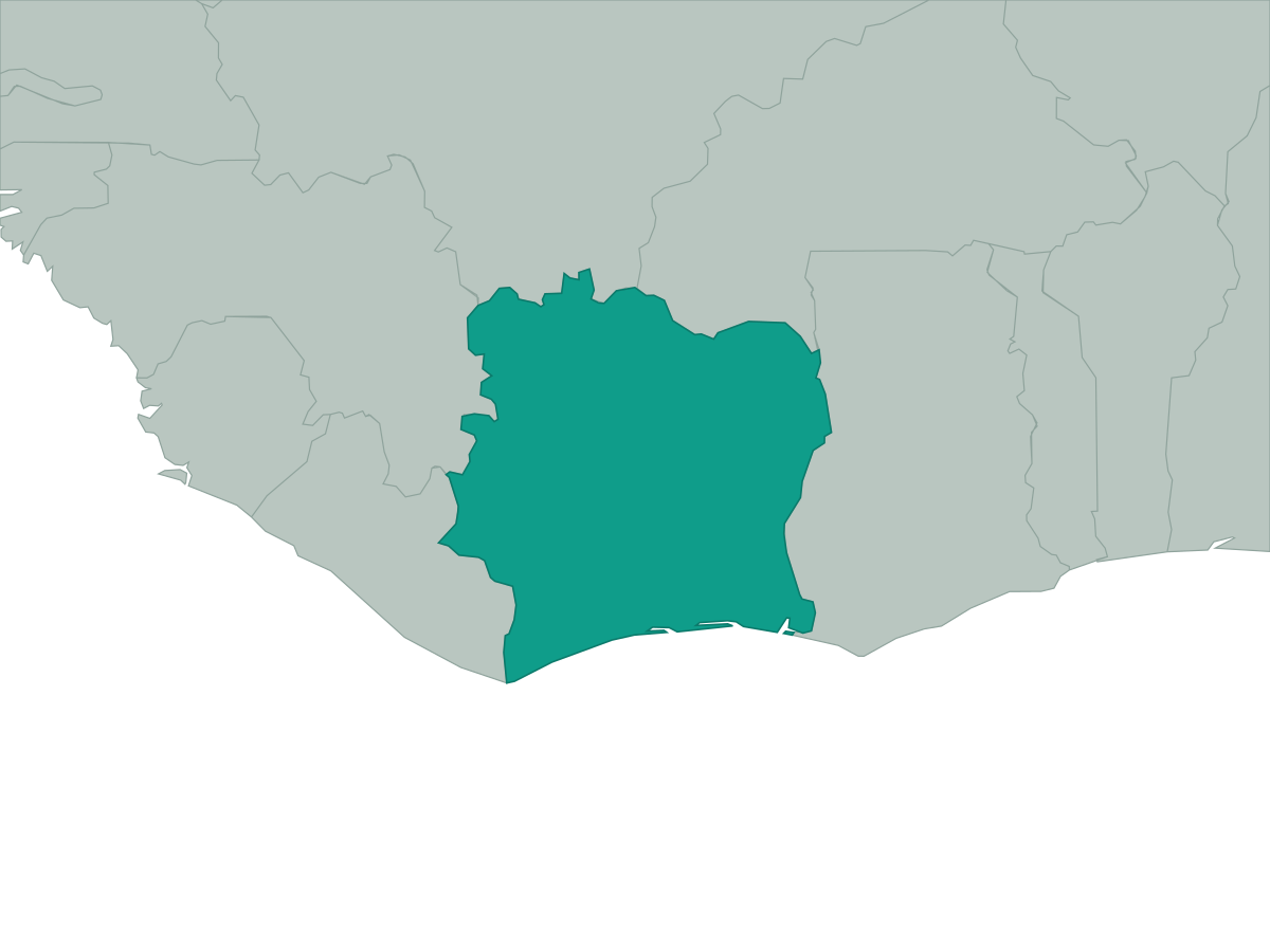 Ivory Coast
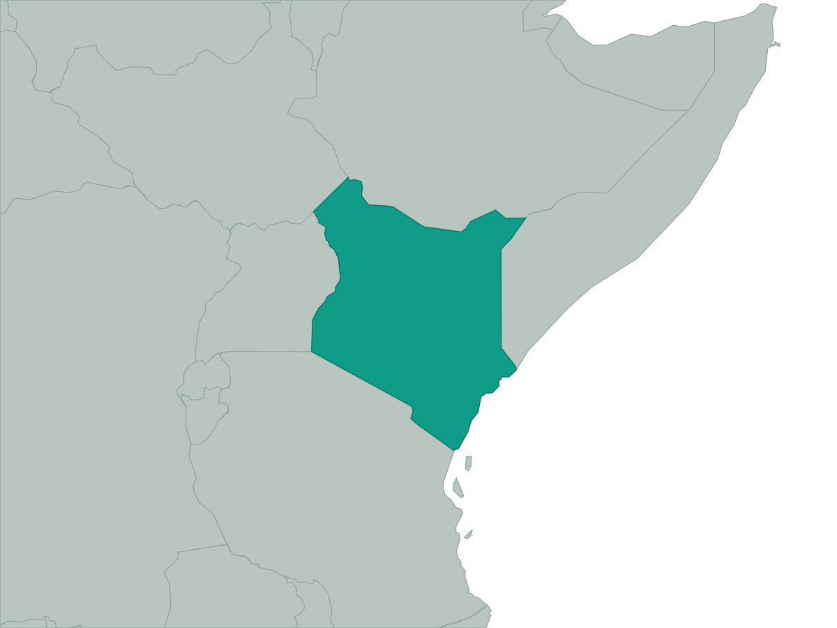 Kenya
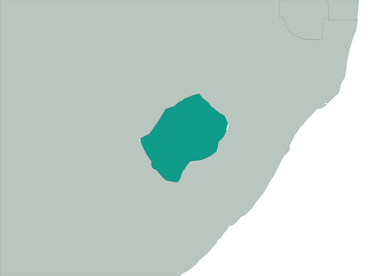 Lesotho
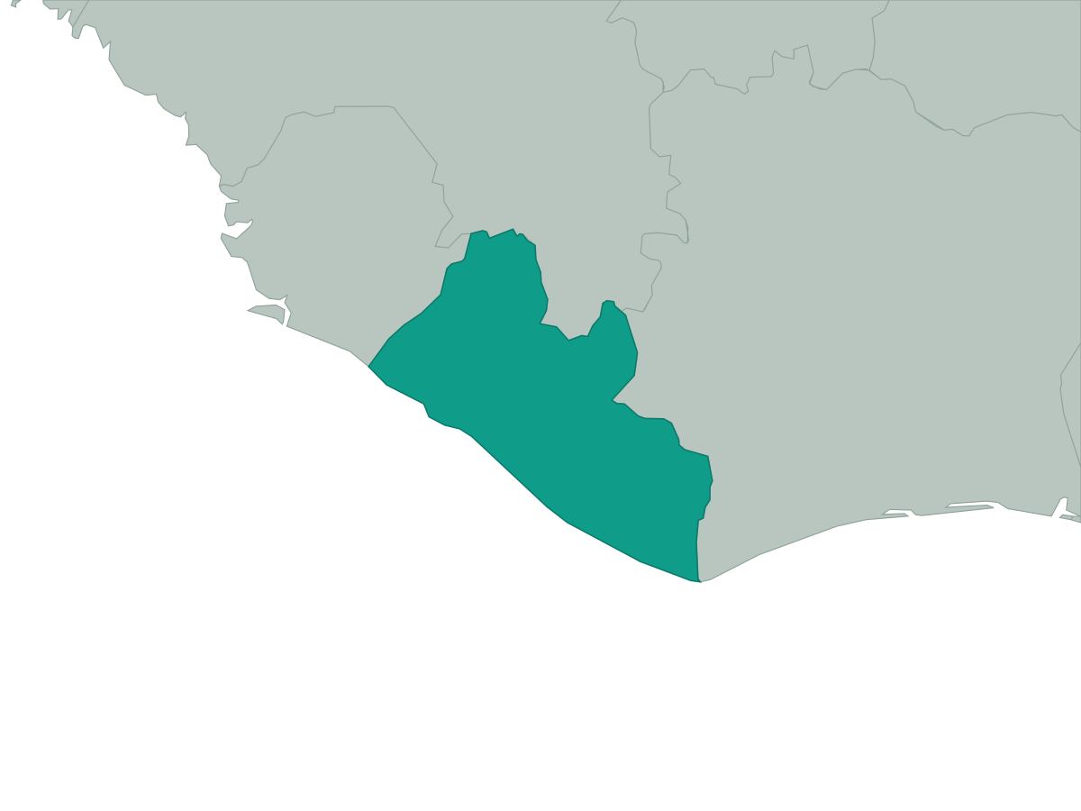 Liberia
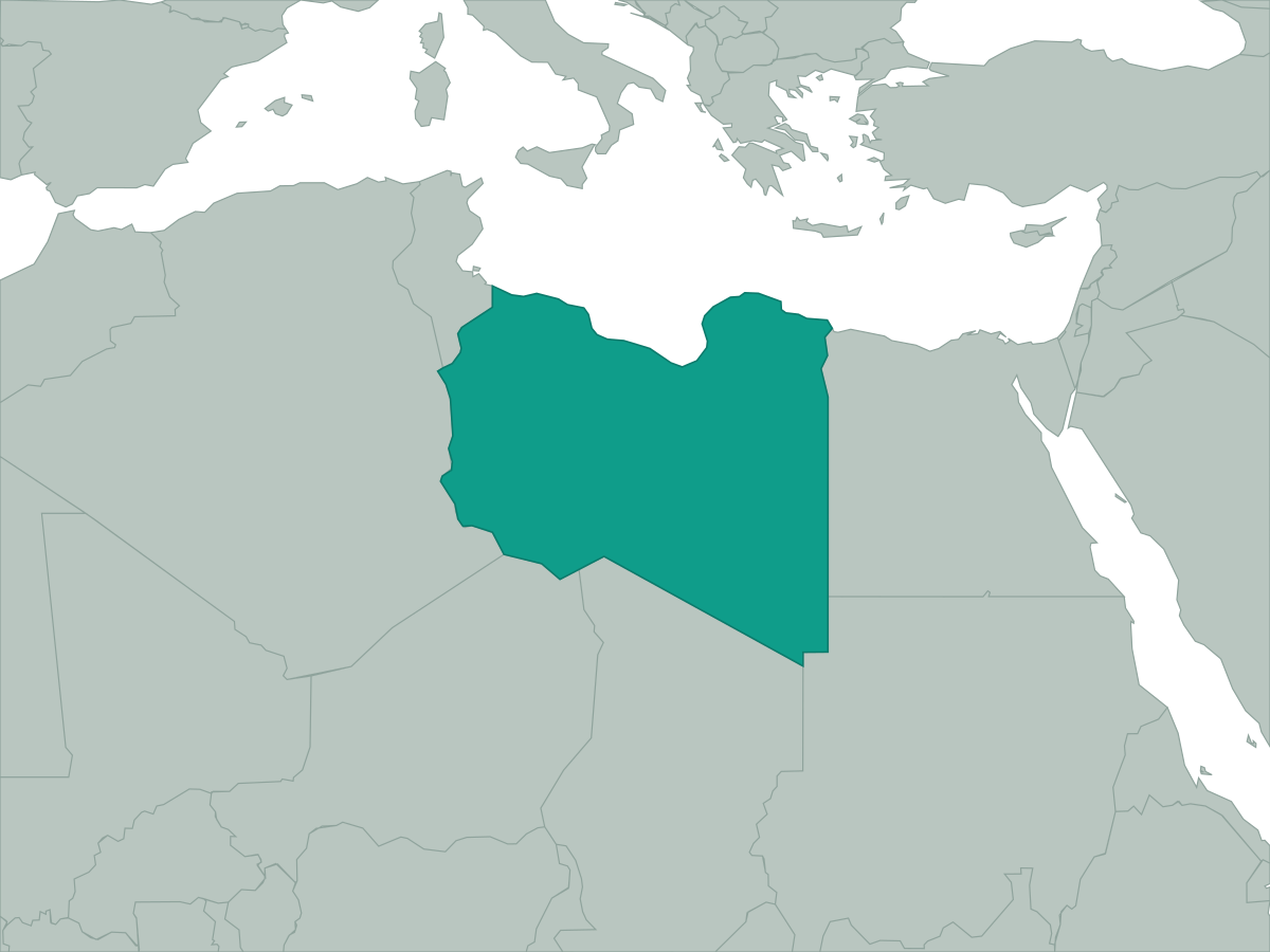 Libya
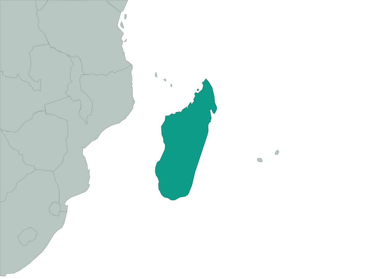 Madagascar
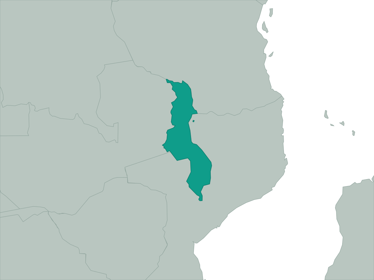 Malawi
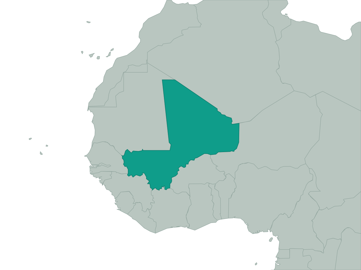 Mali
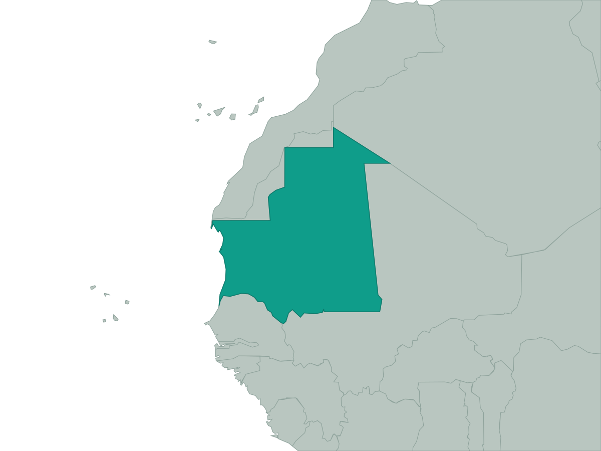 Mauritania
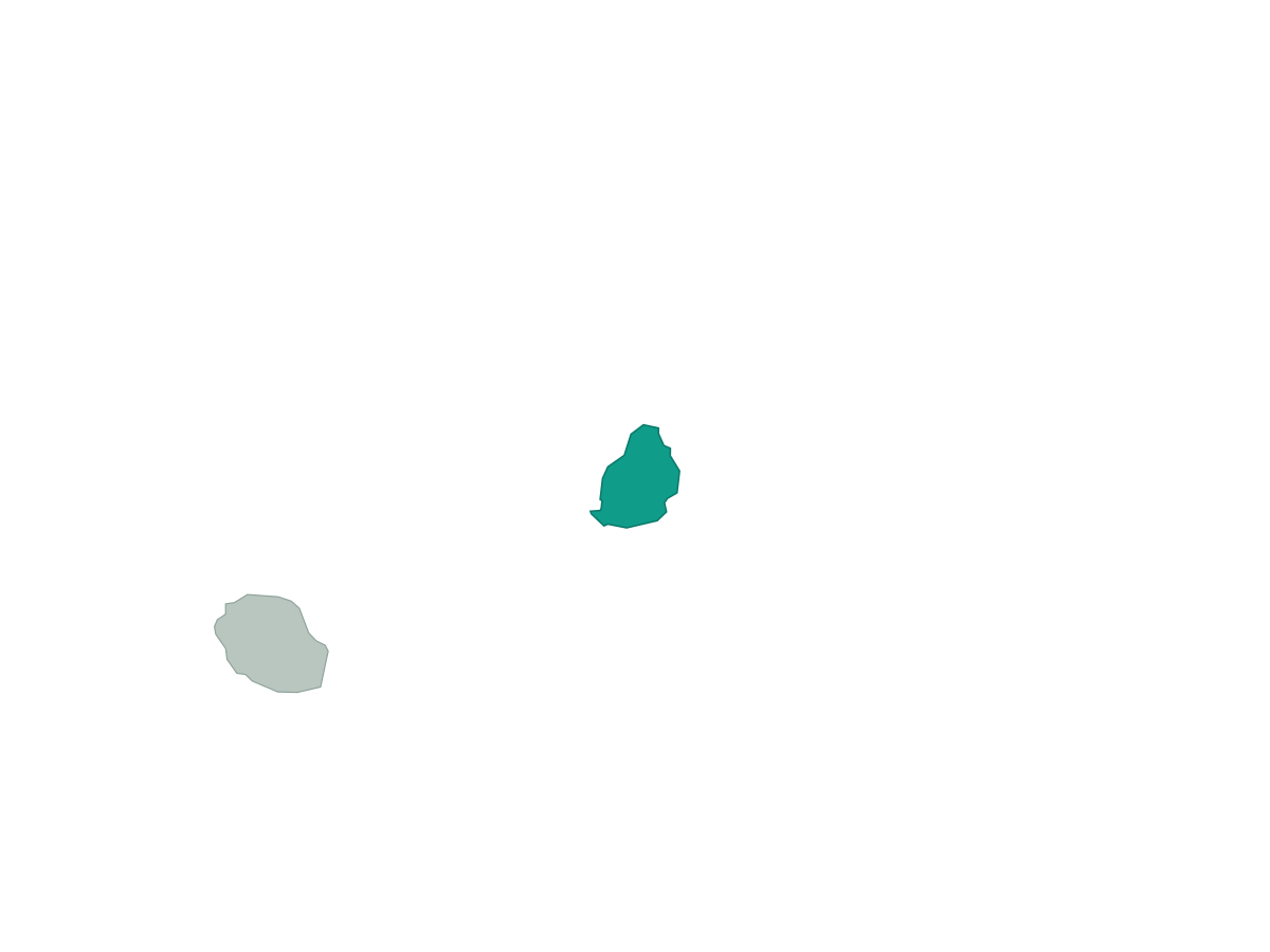 Mauritius
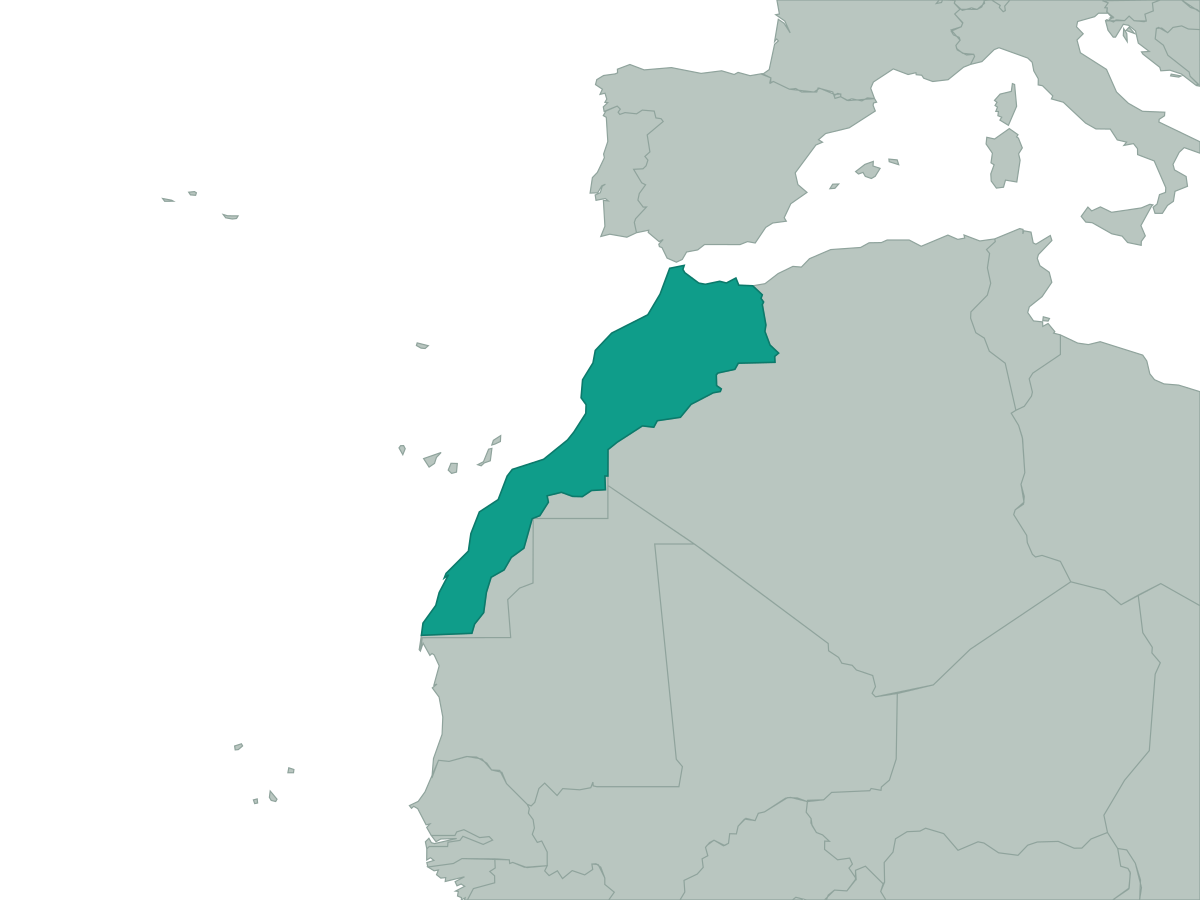 Morocco
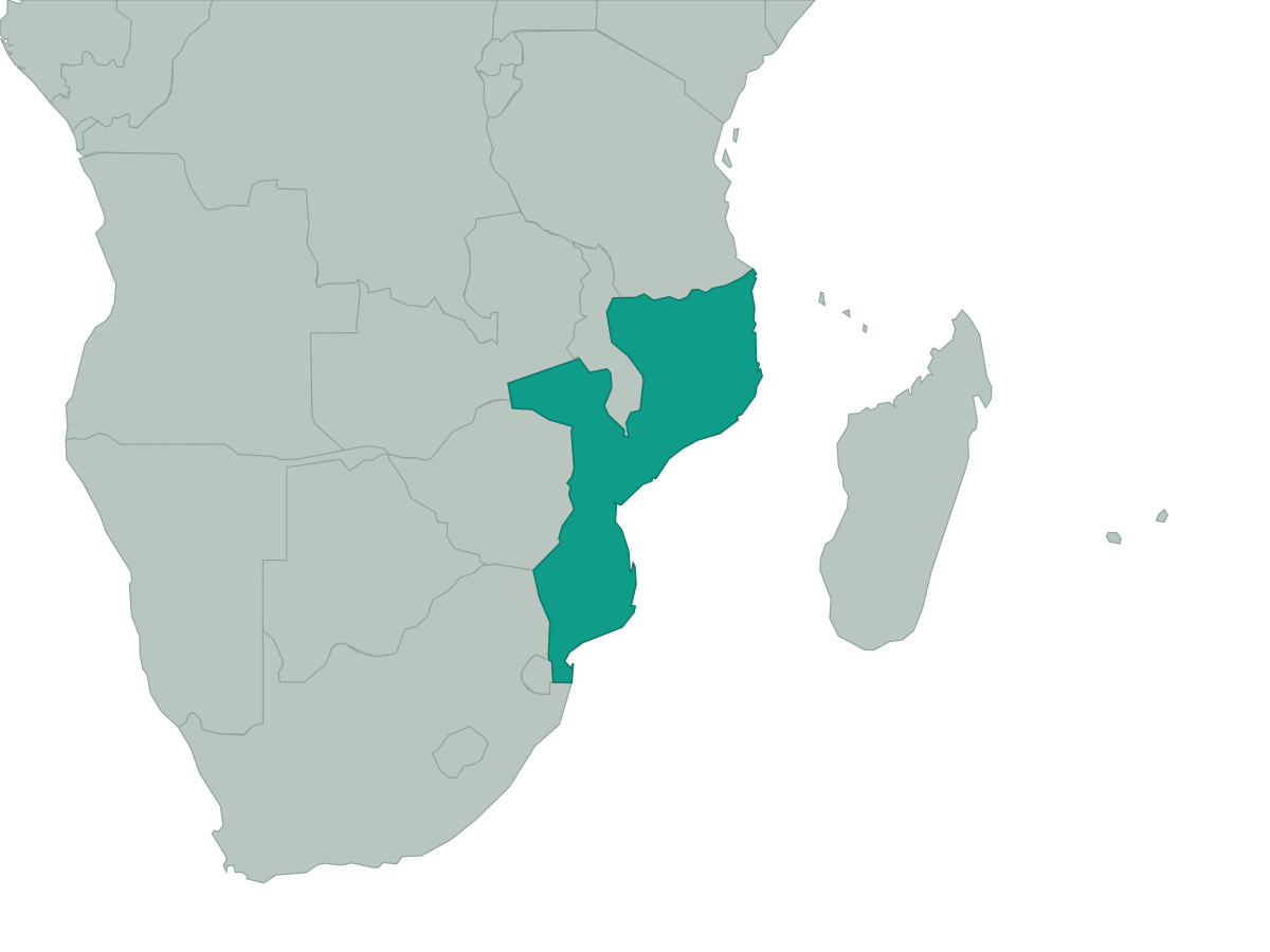 Mozambique
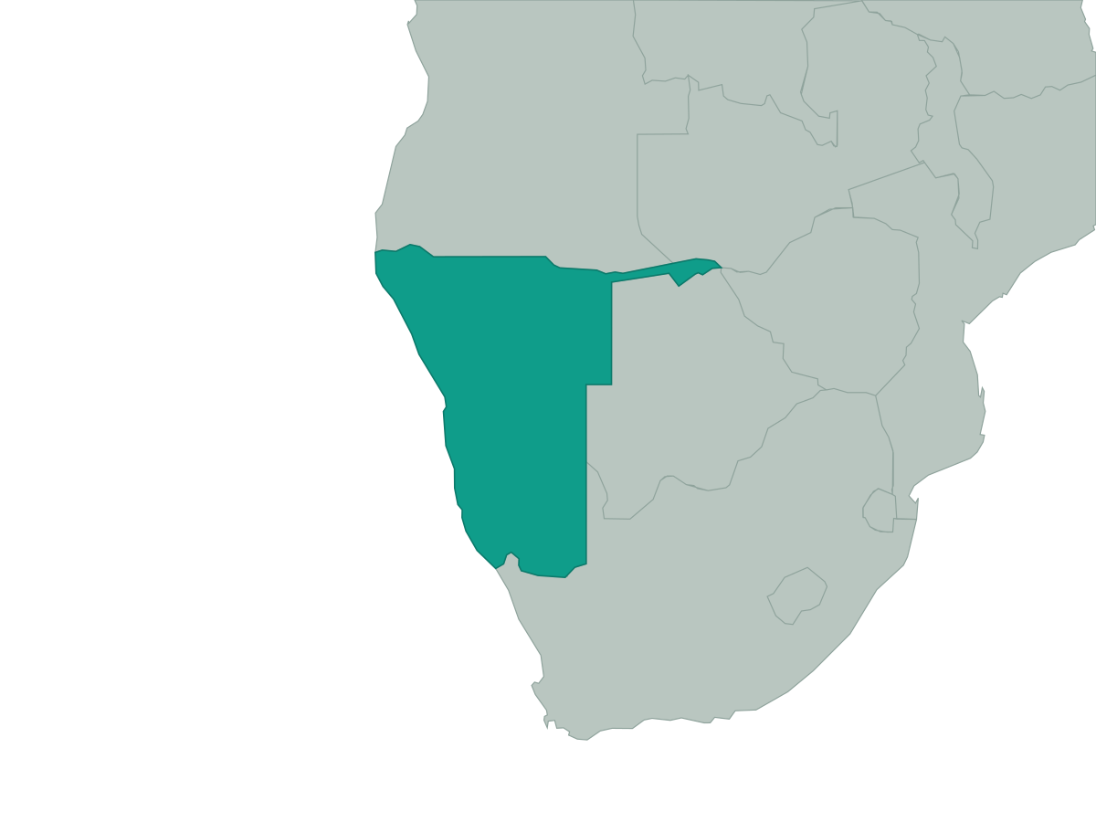 Namibia
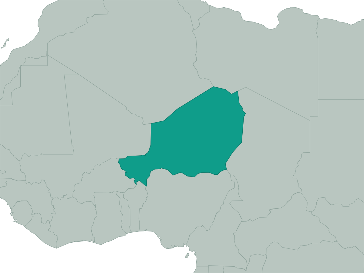 Niger
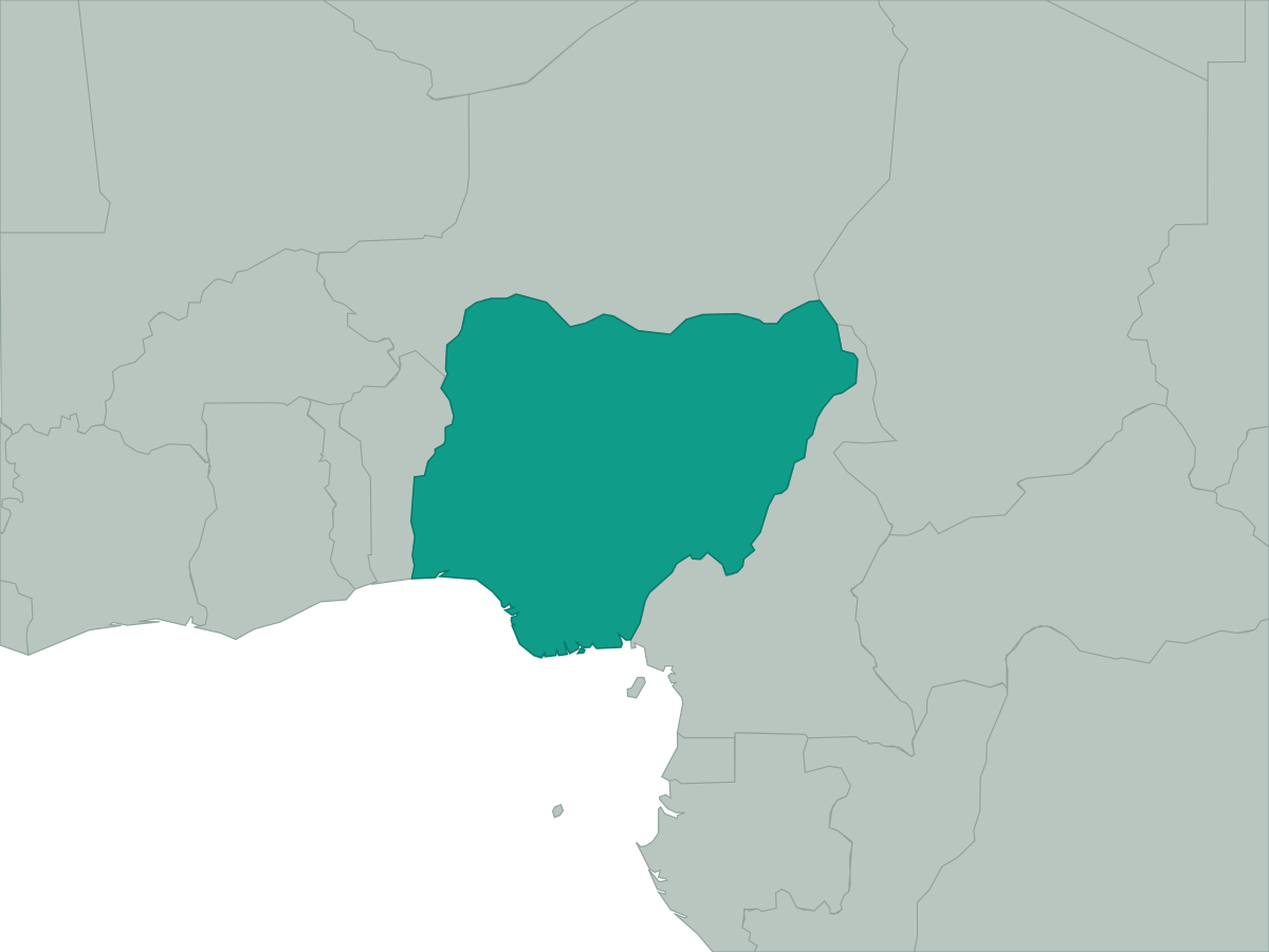 Nigeria
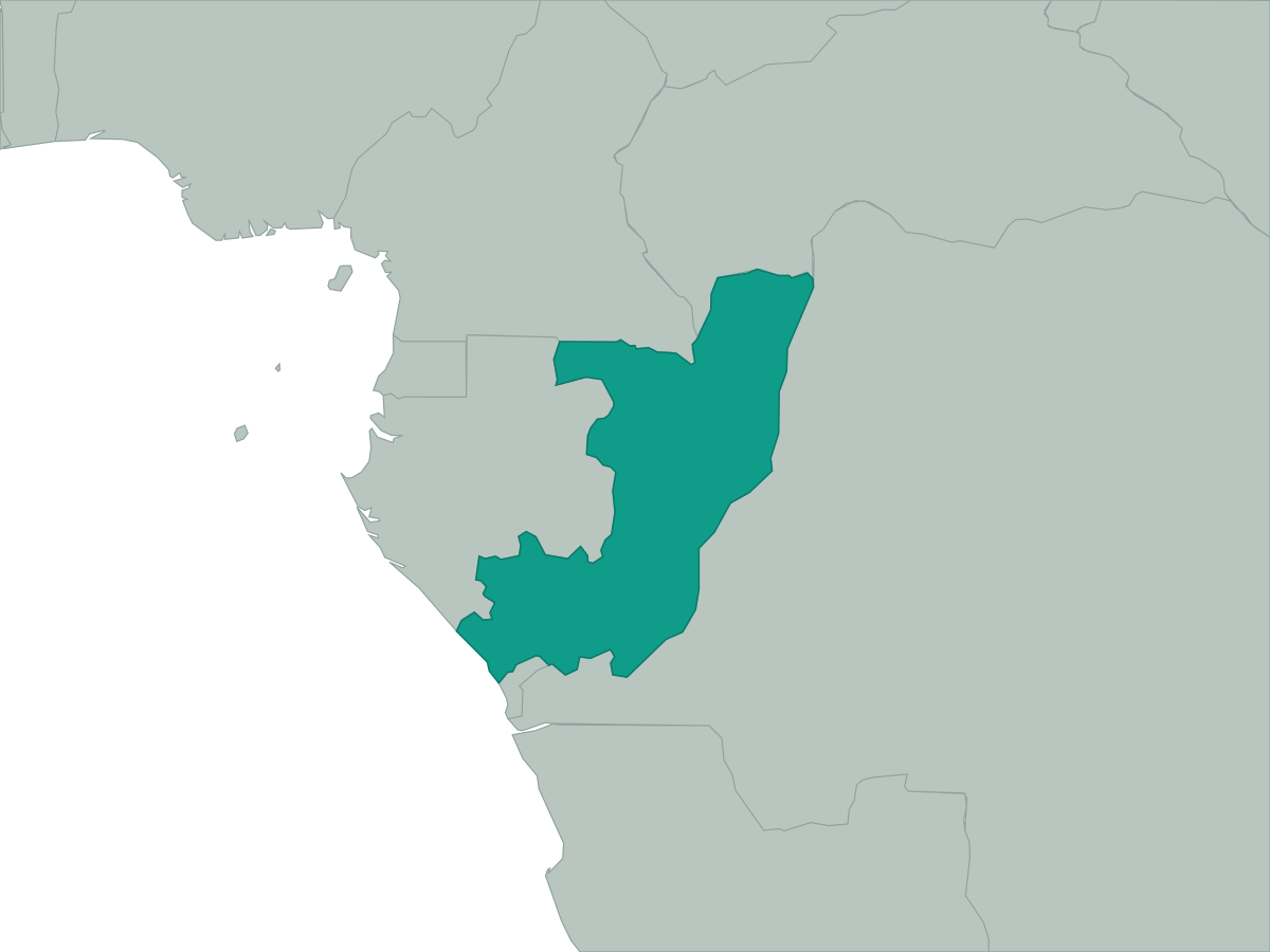 Republic of the Congo
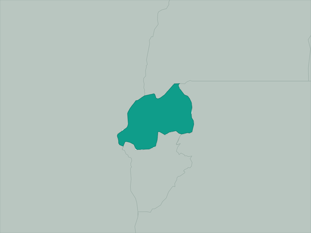 Rwanda
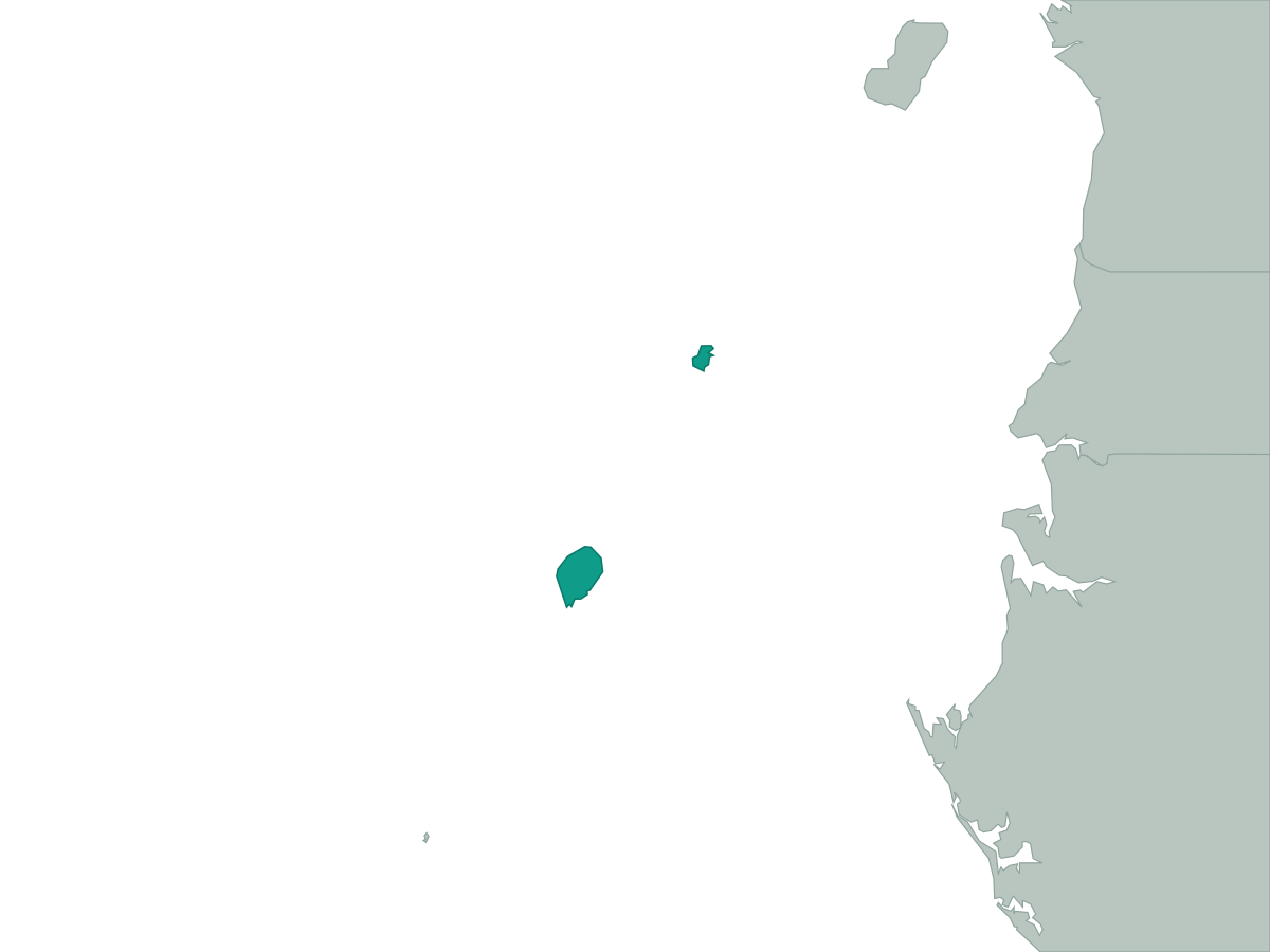 Sao Tome and Principe
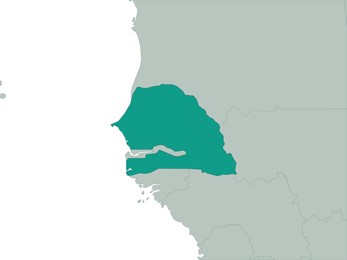 Senegal
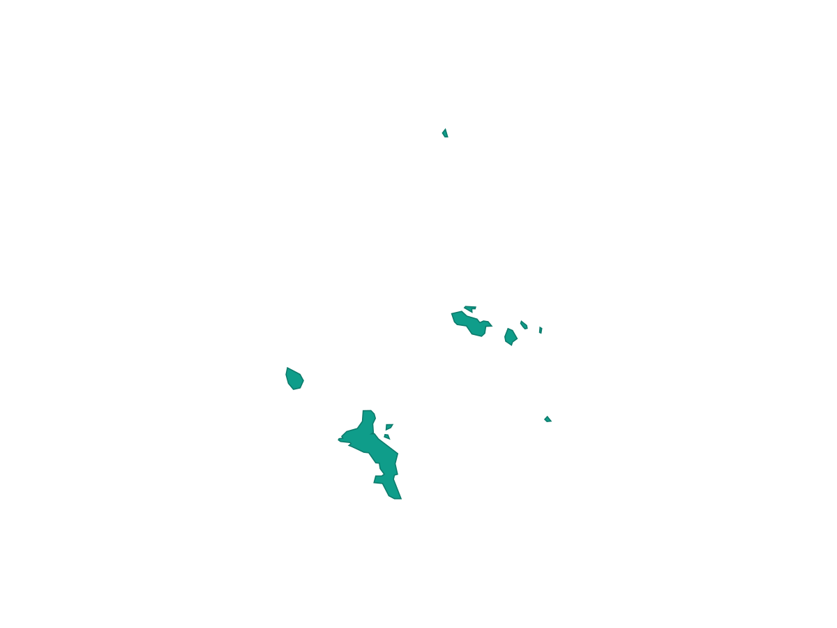 Seychelles
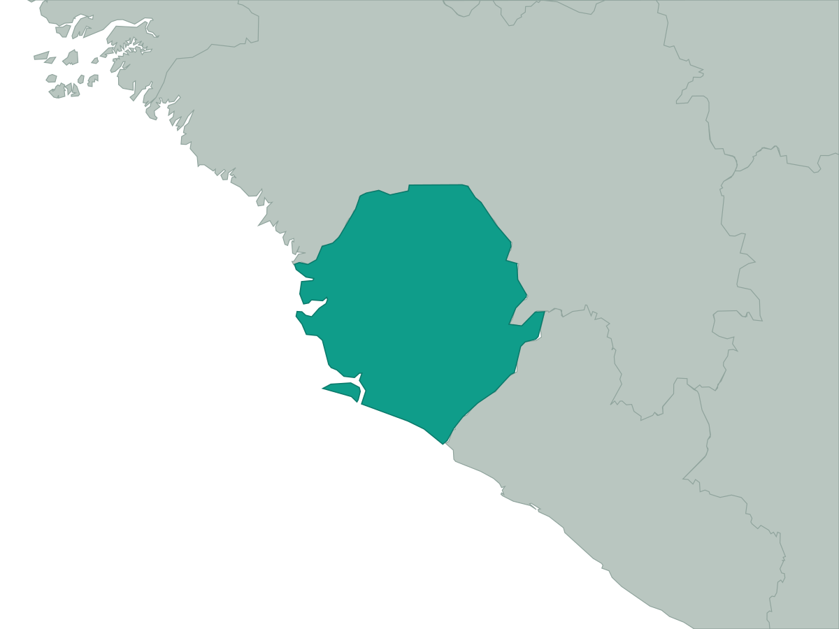 Sierra Leone
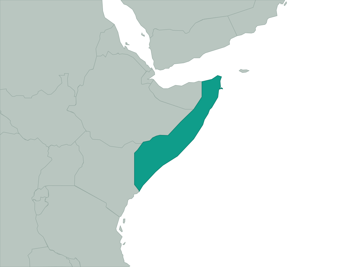 Somalia
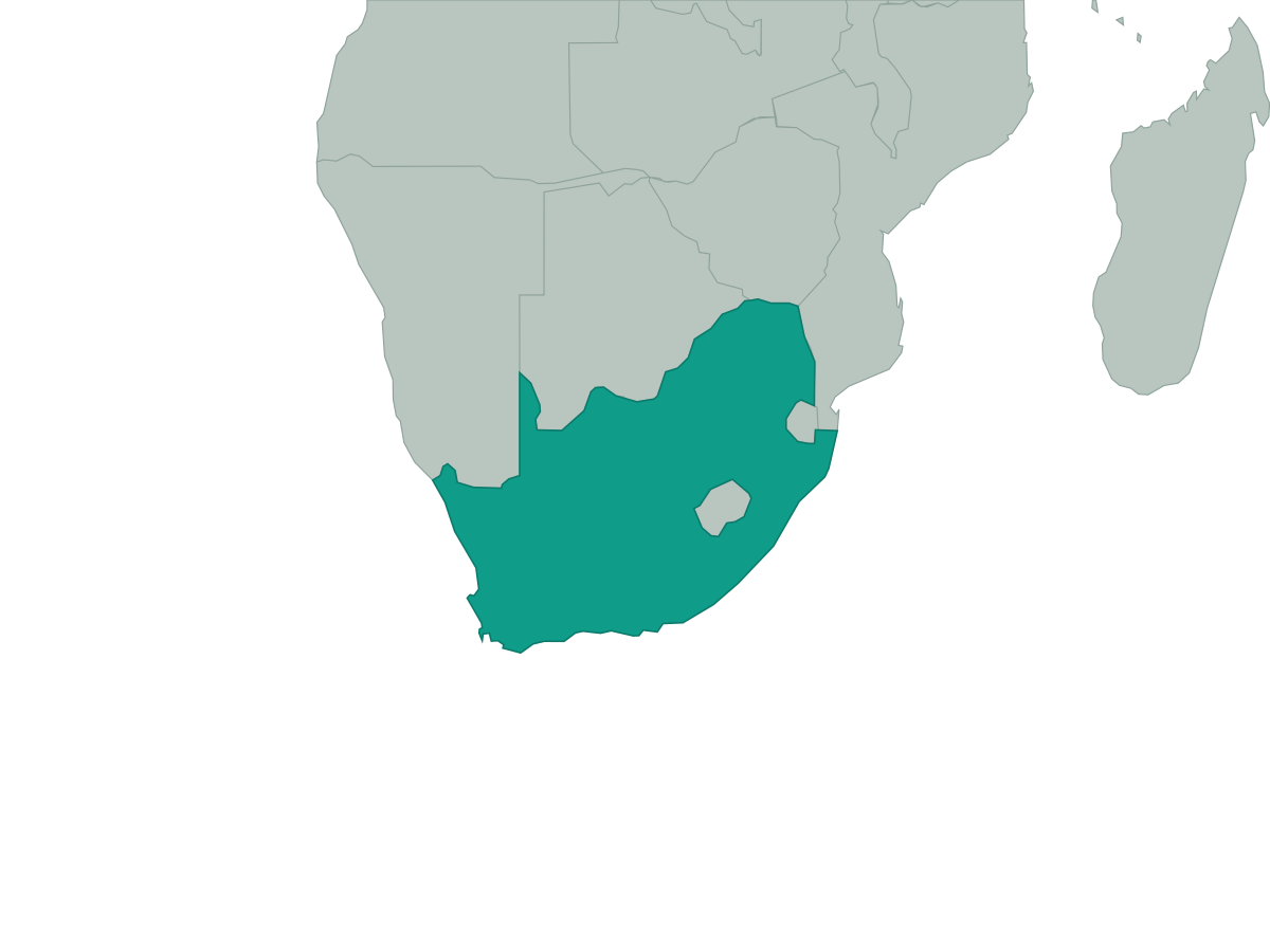 South Africa
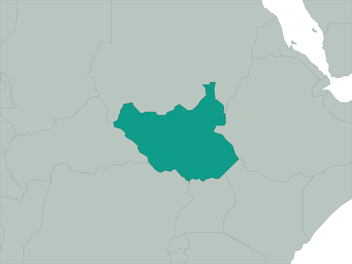 South Sudan
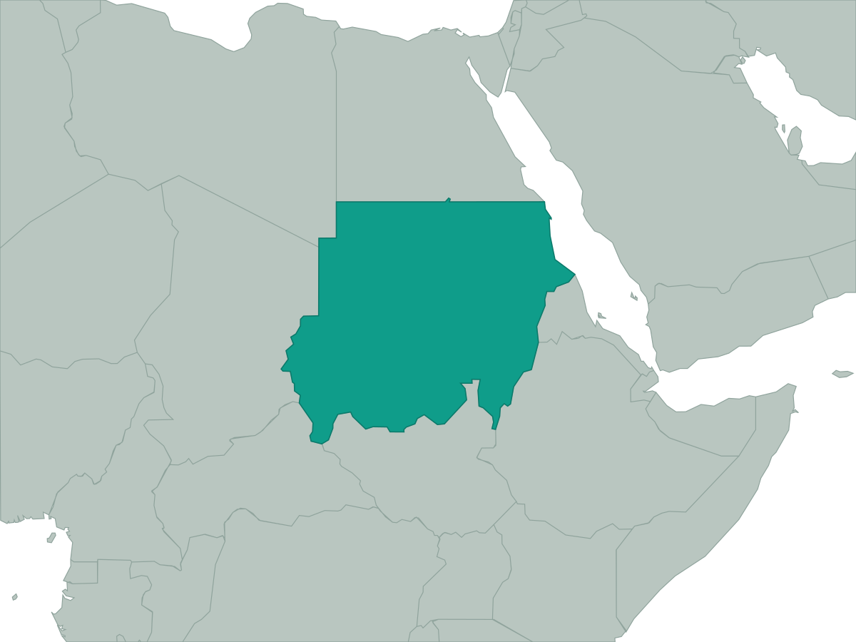 Sudan
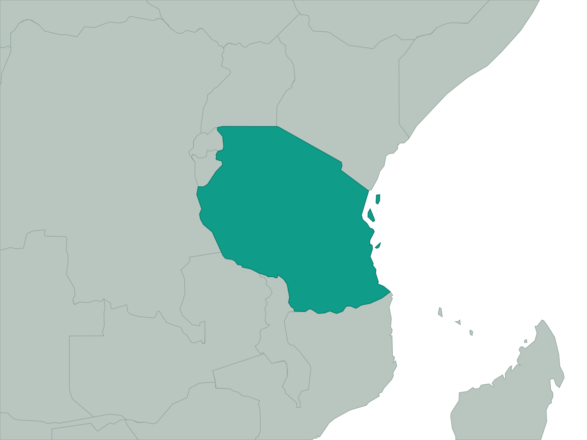 Tanzania
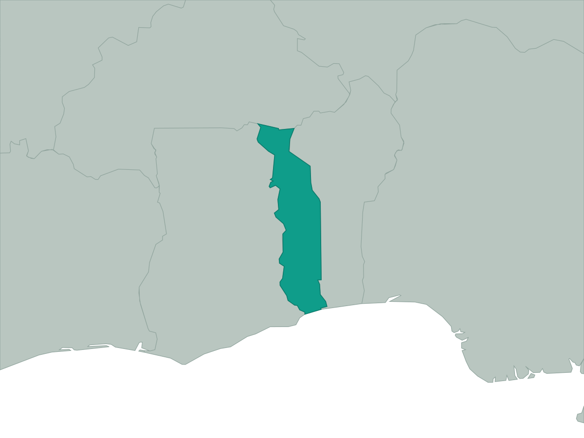 Togo
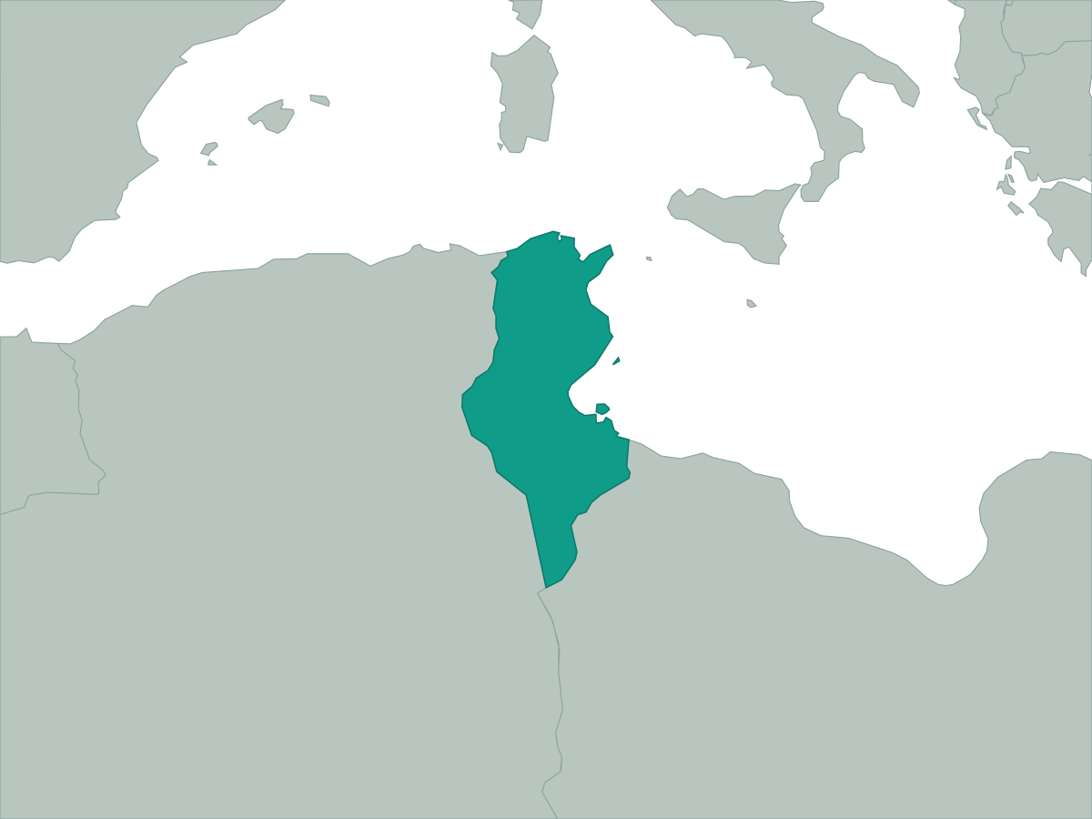 Tunisia
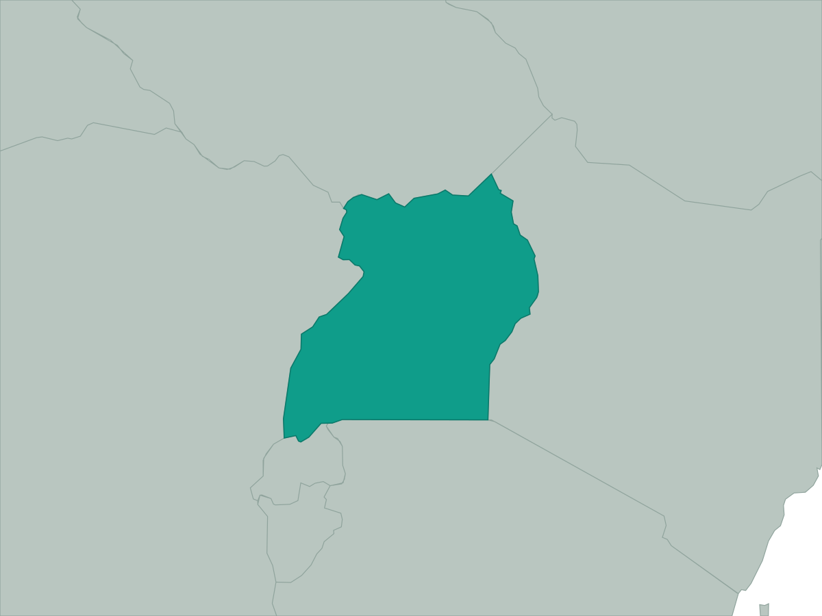 Uganda
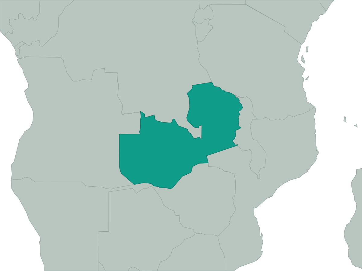 Zambia
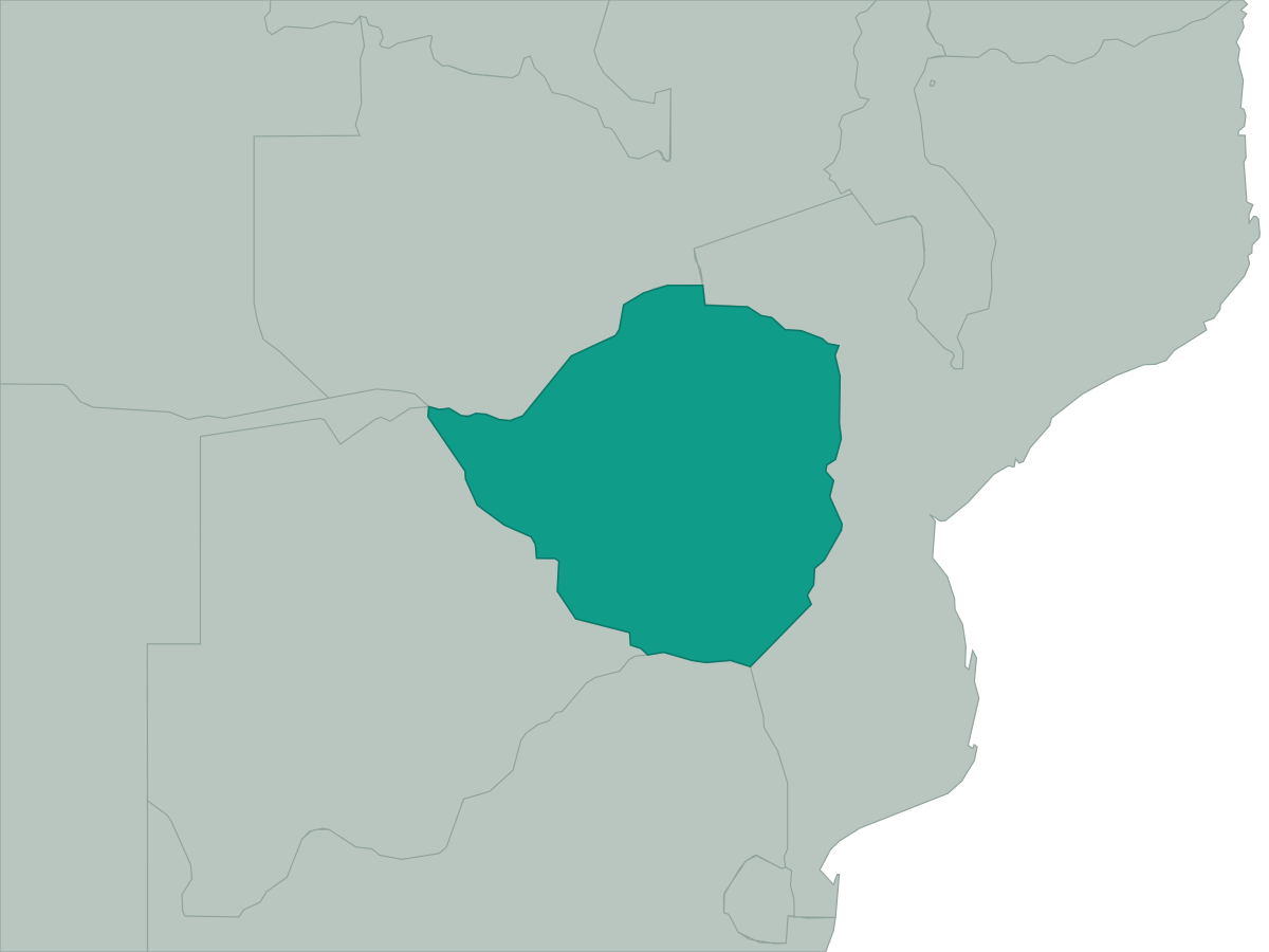 Zimbabwe