
Maps & Shapes of South America
The outline of each of the 12 countries from South America, exactly as it appears in the Countries mode. Recognising the shape alone — no names, no colours — trains spatial visualisation more than memory.
Good to know
Bolivia and Paraguay are the only landlocked countries in the Americas. Brazil alone covers almost half of the continent and borders every South American country except Chile and Ecuador. Chile is the easiest outline to recognise: a strip more than 4,000 km long squeezed between the Andes and the Pacific.
At a glance
- Countries
- 12
- Total population
- 438.1M
- Total area
- 17,708,279 km²
- Most populous
- Brazil (213M)
- Least populous
- Suriname (640K)
- Largest by area
- Brazil (8,515,767 km²)
- Smallest by area
- Suriname (163,270 km²)
Borders and coastlines
- Landlocked countries
- 2 — Bolivia, Paraguay
- Island nations
- None
- Most land borders
- Brazil (10 land borders)
Population, area, coordinates and flag colours come from the same curated country data the game uses.
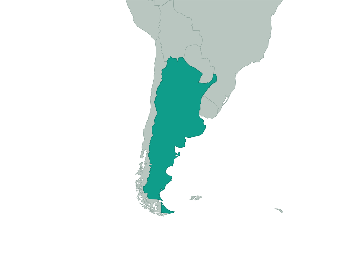 Argentina
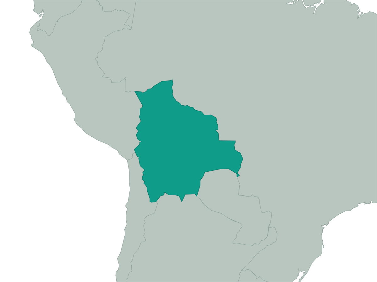 Bolivia
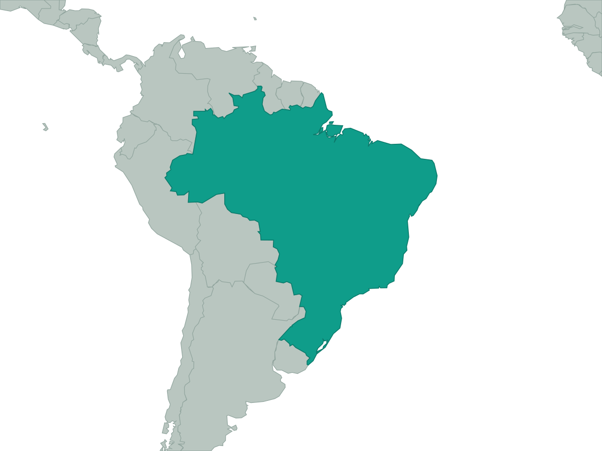 Brazil
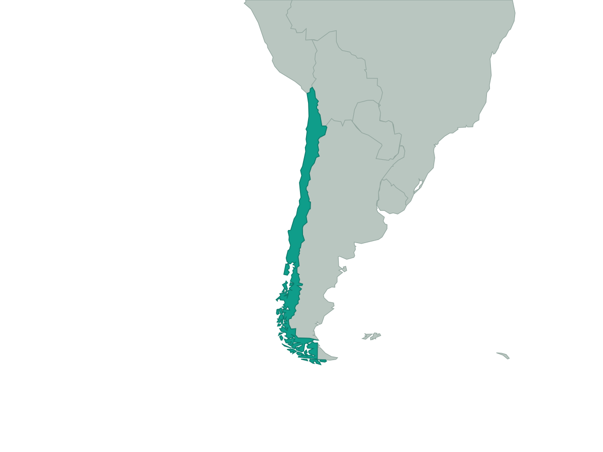 Chile
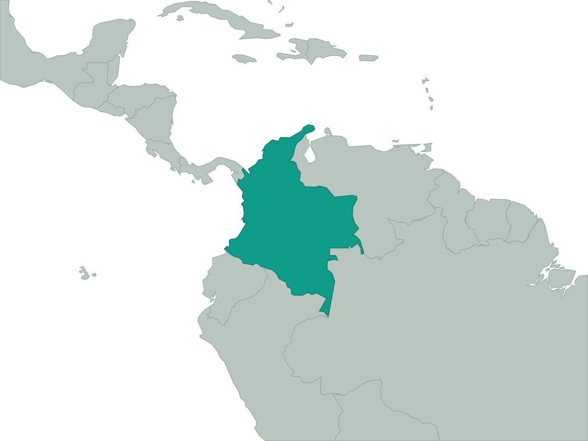 Colombia
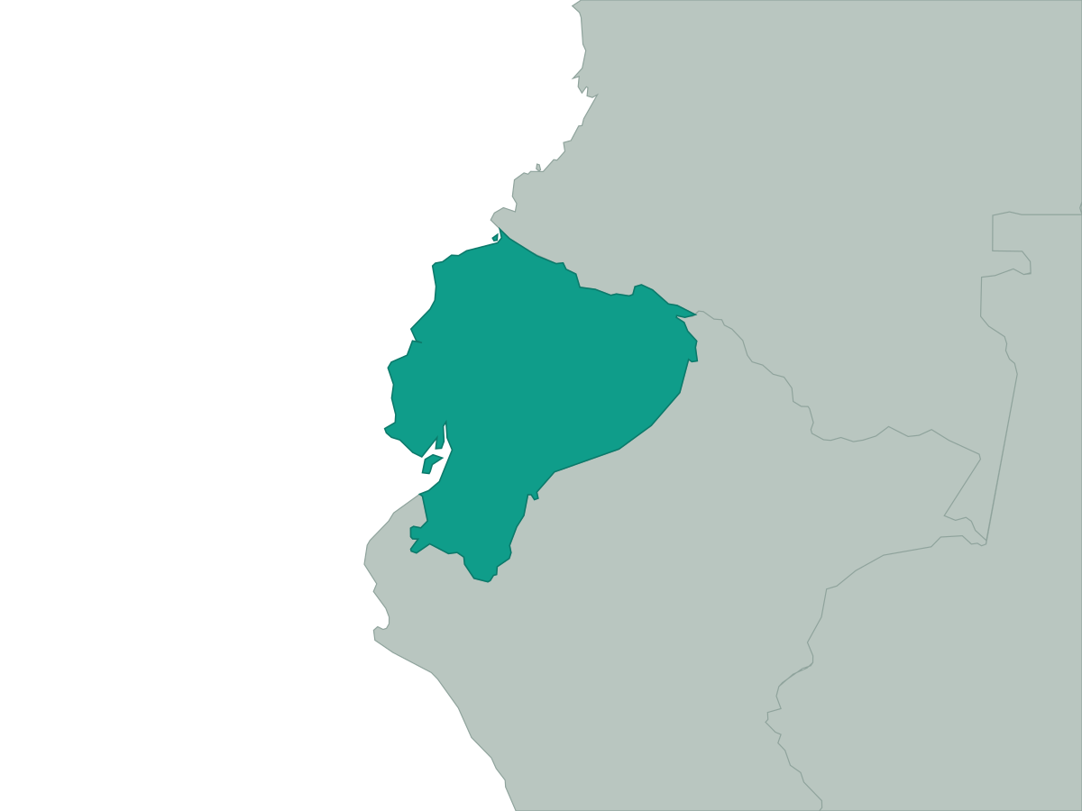 Ecuador
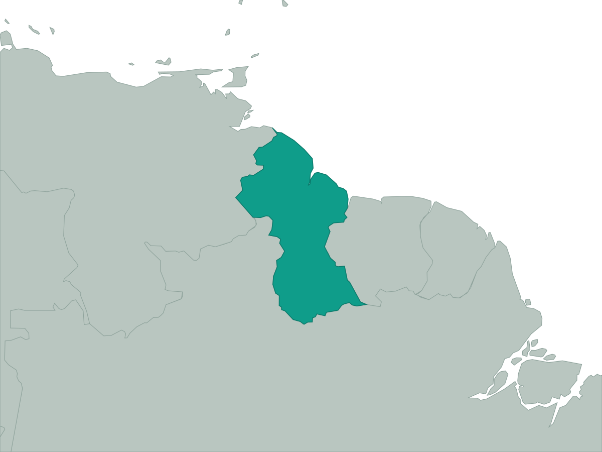 Guyana
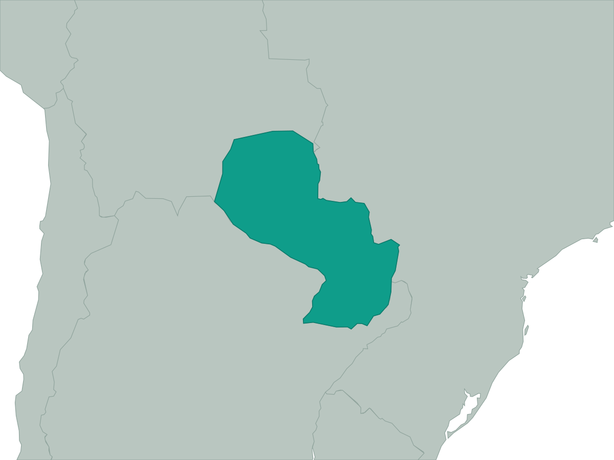 Paraguay
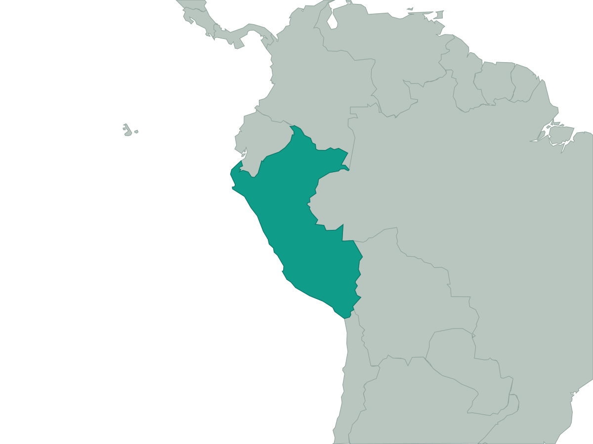 Peru
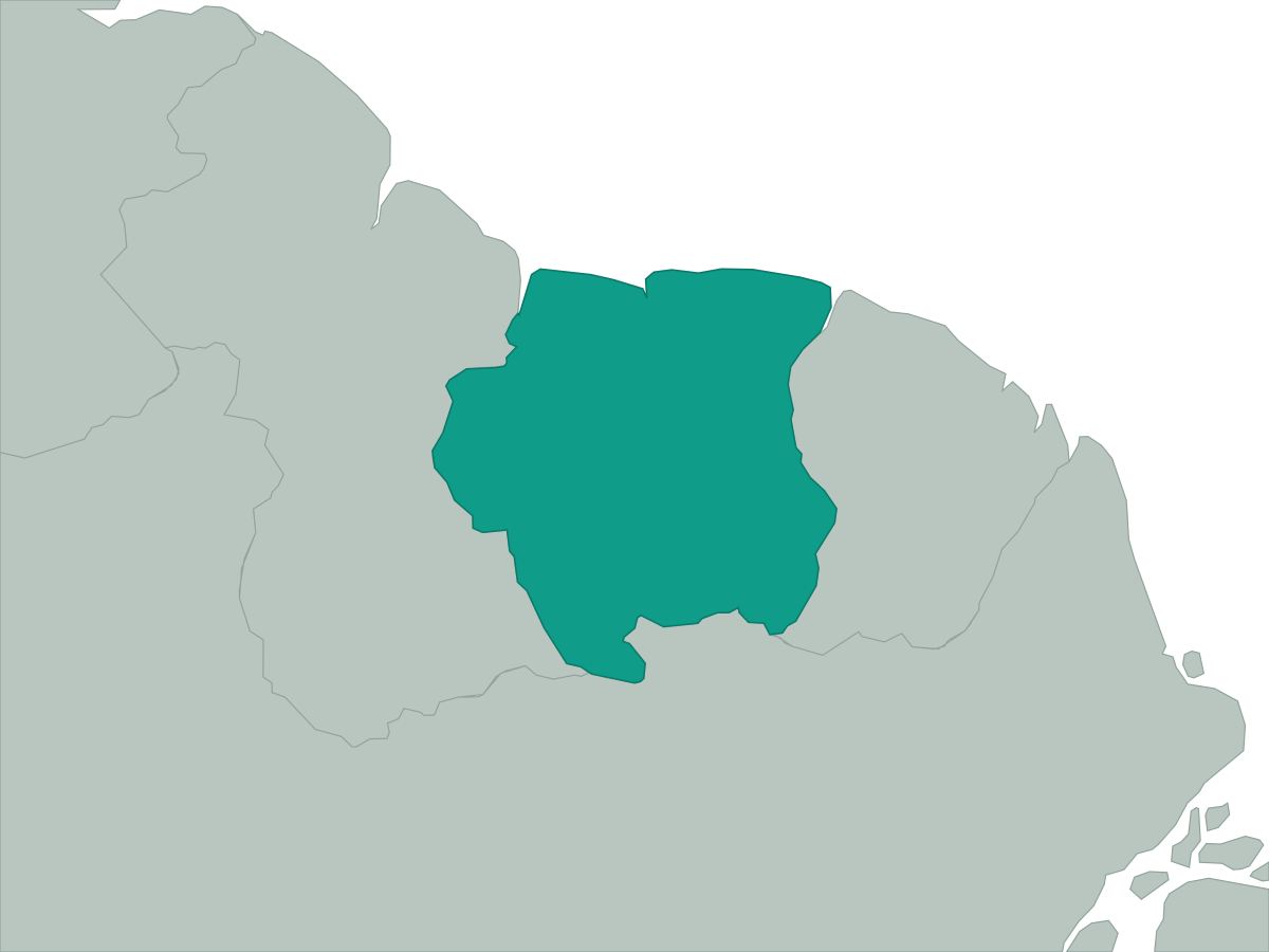 Suriname
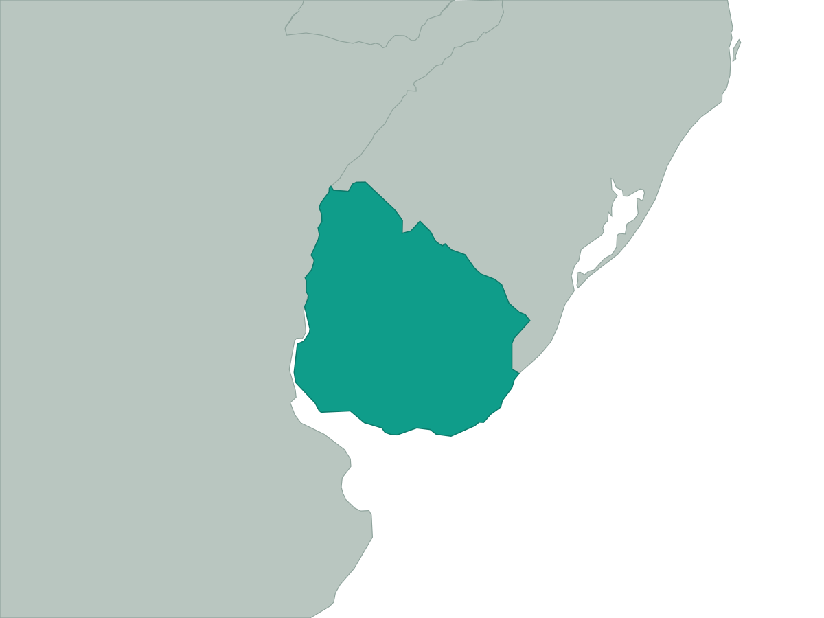 Uruguay
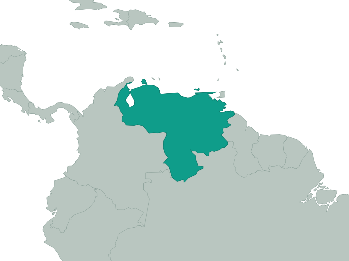 Venezuela